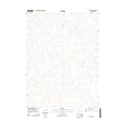
2014 Map of Rackett SE
USGS Topo · Published 2014About this map
The rolling sand hills of Garden County dominate this landscape, showing a region defined by its sparse road network and undulating topography. In this pocket of the Nebraska Panhandle, the terrain dictates the path of travel, with Road 82 cutting across the northwest corner and Rushcreek Rd providing a primary east-west corridor through the center. The map reveals the intricate contouring of the High Plains, where drainage patterns and wind-swept hills remain largely uninterrupted by dense settlement. Access to the more remote southeastern sections is marked by Road 215, which skirts the edge of the dunes. This survey is a clear record of the area's open rangeland character, capturing the intersection of ranch access roads and the natural elevation of the Sandhills.
Find a feature on this map
3 named features on this map. Tap any name to fly to it.
Don’t see what you’re looking for? This feature index may not catch every label — zoom into the map to look around manually.
Map Details
Editions of this 2014 Rackett SE Map
This is the sole edition of this map. No revisions or reprints were ever made.
Other maps of this area

1897 · Ogallala
USGS Topo · 1:125,000

1900 · Chappell
USGS Topo · 1:125,000

1900 · Ogallala
USGS Topo · 1:125,000

1949 · Rackett
USGS Topo · 1:62,500

1950 · Velma
USGS Topo · 1:62,500

1951 · Rackett
USGS Topo · 1:62,500

1954 · Scottsbluff
USGS Topo · 1:250,000

1954 · North Platte
USGS Topo · 1:250,000

1956 · North Platte
USGS Topo · 1:250,000

1957 · North Platte
USGS Topo · 1:250,000