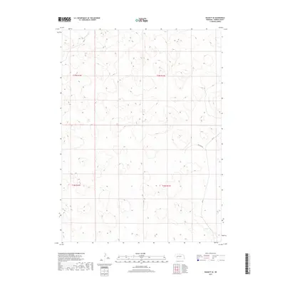
2017 Map of Rackett SE
USGS Topo · Published 2017About this map
Sandhills topography dominates this portion of Garden County, where the landscape is defined by the underlying township and range grid of the Public Land Survey System. The transition between t19n r42w and t19n r41w underscores the vast, open character of the Nebraska interior, where human infrastructure is limited to a few arterial routes. Transport through these Nebraska grasslands relies on a sparse network of county roads, most notably Rushcreek Rd and Rd 215 in the southeastern portion of the quadrangle. These roads follow the natural contours of the terrain rather than strict section lines, reflecting the practicalities of navigating this specific prairie environment. Near the southern boundary, Rd 82 provides additional access through the hills, illustrating the sparse but critical connectivity required for ranching and land management in the early 21st century.
Find a feature on this map
7 named features on this map. Tap any name to fly to it.
Don’t see what you’re looking for? This feature index may not catch every label — zoom into the map to look around manually.
Map Details
Editions of this 2017 Rackett SE Map
This is the sole edition of this map. No revisions or reprints were ever made.
Other maps of this area

1897 · Ogallala
USGS Topo · 1:125,000

1900 · Chappell
USGS Topo · 1:125,000

1900 · Ogallala
USGS Topo · 1:125,000

1949 · Rackett
USGS Topo · 1:62,500

1950 · Velma
USGS Topo · 1:62,500

1951 · Rackett
USGS Topo · 1:62,500

1954 · Scottsbluff
USGS Topo · 1:250,000

1954 · North Platte
USGS Topo · 1:250,000

1956 · North Platte
USGS Topo · 1:250,000

1957 · North Platte
USGS Topo · 1:250,000