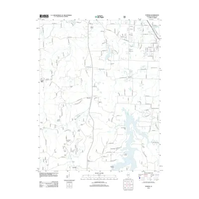
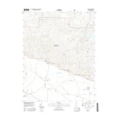
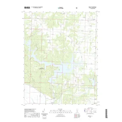
1994 Map of Raddle
USGS Topo · Published 1996About this map
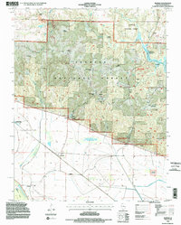
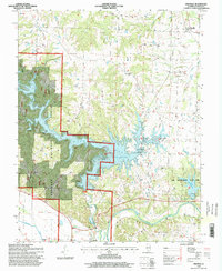
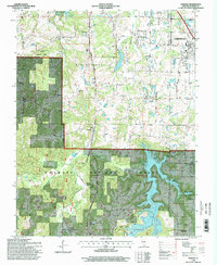
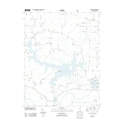
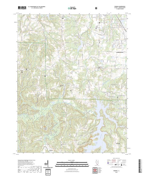
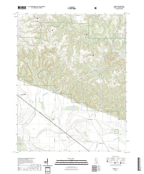
Fountain Bluff and the rugged forestlands of Jackson County define this landscape along the eastern edge of the Mississippi River floodplain. The area is dominated by the Shawnee National Forest, where the terrain is heavily dissected by numerous drainages including Matusky Hollow, Logan Hollow, and Talbott Hollow. Settlement is clustered on the lower ground near the Levee, with small communities like Raddle, Glenn, and Crain serving as focal points for local history.
Find a feature on this map
44 named features on this map. Tap any name to fly to it.
Don’t see what you’re looking for? This feature index may not catch every label — zoom into the map to look around manually.
Map Details
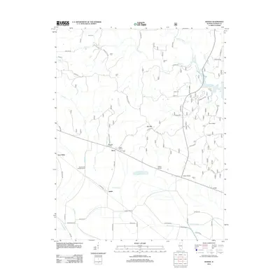
Editions of this 1994 Raddle Map
2 editions found
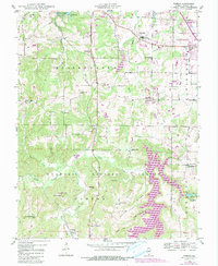
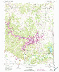
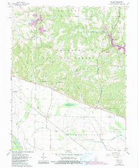
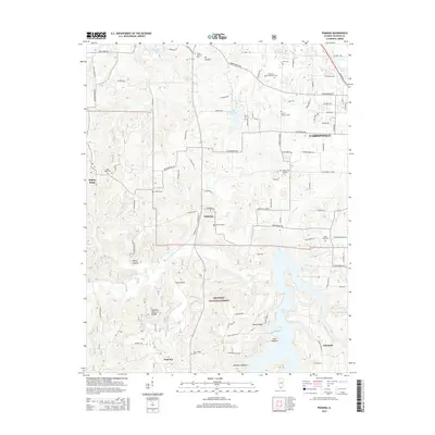
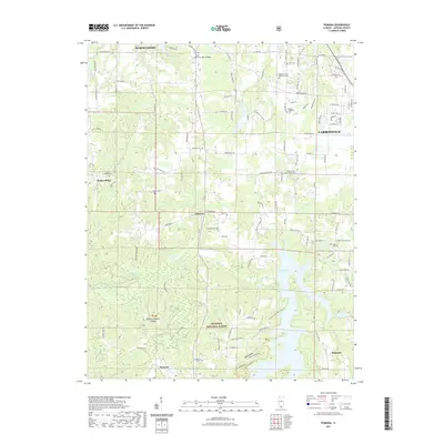
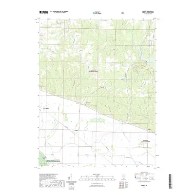
Historical Maps of Crain Through Time
21 maps found
1948 Pomona
Jackson County, IL
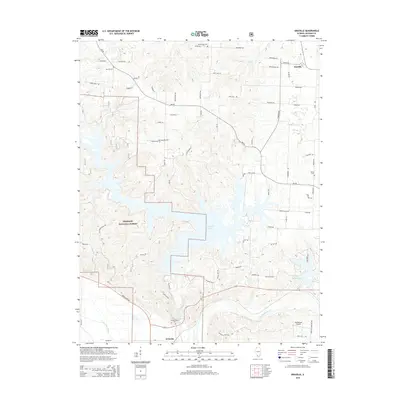
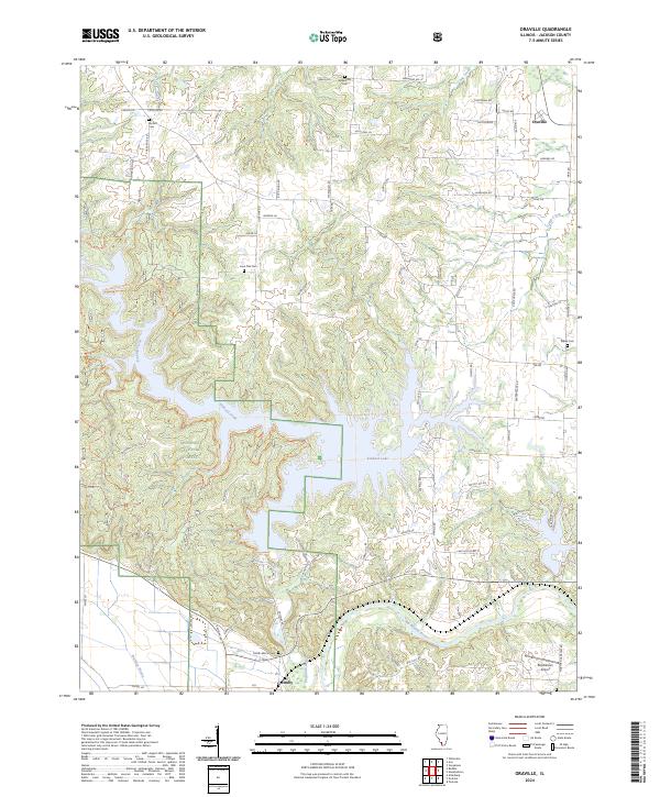
1968 Oraville
Jackson County, IL
1968 Raddle
Jackson County, IL
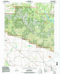
1994 Raddle
Jackson County, IL
1996 Oraville
Jackson County, IL
1996 Pomona
Jackson County, IL
2012 Oraville
Jackson County, IL
2012 Pomona
Jackson County, IL
2012 Raddle
Jackson County, IL
2015 Oraville
Jackson County, IL
2015 Pomona
Jackson County, IL
2015 Raddle
Jackson County, IL
2018 Oraville
Jackson County, IL
2018 Pomona
Jackson County, IL
2018 Raddle
Jackson County, IL
2021 Oraville
Jackson County, IL
2021 Pomona
Jackson County, IL
2021 Raddle
Jackson County, IL
2024 Oraville
Jackson County, IL
2024 Pomona
Jackson County, IL
2024 Raddle
Jackson County, IL