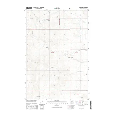
2014 Map of Radersburg
USGS Topo · Published 2014About this map
Radersburg sits at the edge of the Limestone Hills in Broadwater County, Montana, serving as the primary hub for this high-country landscape. This 2014 survey details a network of canyons and gulches including Keating Gulch, Uncle Johnnys Gulch, and Norris Gulch that drain toward the Crow Cr valley. The map reveals an intricate system of water management essential for the region's agricultural and mining history, notably the Swede-Hollings Ditch and Hollings Ditch which parallel the foothills. Much of the western terrain is occupied by the Helena National Forest, where topography rises toward distinctive landmarks like Lone Mtn. Historic water sources such as White Rock Spring and Piedmont Spring are documented, highlighting the importance of reliable water in this semi-arid environment. The road network, including MT-285 and Johnny Gulch Rd, connects these remote drainages back to the settlement.
Find a feature on this map
34 named features on this map. Tap any name to fly to it.
Don’t see what you’re looking for? This feature index may not catch every label — zoom into the map to look around manually.
Map Details
Editions of this 2014 Radersburg Map
This is the sole edition of this map. No revisions or reprints were ever made.
Other maps of this area

1886 · Fort Logan
USGS Topo · 1:250,000

1948 · White Sulphur Springs
USGS Topo · 1:250,000

1949 · Radersburg
USGS Topo · 1:62,500

1950 · Devils Fence
USGS Topo · 1:62,500

1950 · Townsend
USGS Topo · 1:62,500

1950 · Clancy
USGS Topo · 1:62,500

1958 · White Sulphur Springs
USGS Topo · 1:250,000

1961 · White Sulphur Springs
USGS Topo · 1:250,000

1965 · White Sulphur Springs
USGS Topo · 1:250,000

1976 · Townsend
USGS Topo · 1:100,000