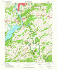
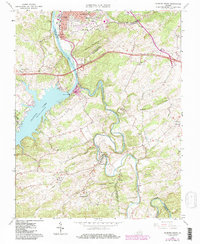
1965 Map of Radford South
USGS Topo · Published 1966About this map
The New River carves a winding path through this mid-1960s landscape, pooling behind the Claytor Dam to form the expansive Claytor Lake. Along the northern edge, the industrial and educational core of Radford is evident, featuring the Norfolk and Western railway corridor, a Filtration Plant, and several schools including McHarg Sch and Kuhn Barnett Sch. The terrain is dominated by Ingles Mountain, which separates the city's urban footprint from the more rural reaches of Montgomery and Pulaski counties.
Find a feature on this map
54 named features on this map. Tap any name to fly to it.
Don’t see what you’re looking for? This feature index may not catch every label — zoom into the map to look around manually.
Map Details
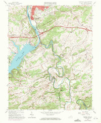
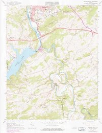
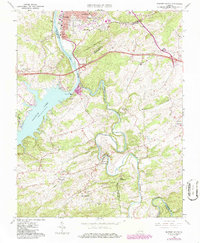
Editions of this 1965 Radford South Map
5 editions found
Other maps of this area

1889 · Hillsville
USGS Topo · 1:125,000

1890 · Dublin
USGS Topo · 1:125,000

1890 · Christiansburg
USGS Topo · 1:125,000

1891 · Dublin
USGS Topo · 1:125,000

1892 · Hillsville
USGS Topo · 1:125,000

1896 · Hillsville
USGS Topo · 1:125,000

1932 · Blacksburg
USGS Topo · 1:48,000

1937 · Blacksburg
USGS Topo · 1:62,500

1950 · Radford
USGS Topo · 1:62,500

1953 · Winston-Salem
USGS Topo · 1:250,000