
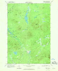
1968 Map of Ragged Lake
USGS Topo · Published 1991About this map
Industrial remnants of the Adirondacks are etched into the wilderness of the Bellmont and Franklin township borders as they appeared in the late 1960s. The landscape is defined by the legacy of logging and charcoal production, visible in the Old Railroad Grade that winds through the southern terrain past Upper Kilns and Middle Kilns. These features, along with Bryants Mill on the western edge, indicate a history of timber extraction and processing within the Adirondack State Park.
Find a feature on this map
55 named features on this map. Tap any name to fly to it.
Don’t see what you’re looking for? This feature index may not catch every label — zoom into the map to look around manually.
Map Details
Editions of this 1968 Ragged Lake Map
2 editions found
Other maps of this area
1906 · Loon Lake
USGS Topo · 1:62,500
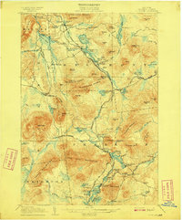
1908 · Loon Lake
USGS Topo · 1:62,500
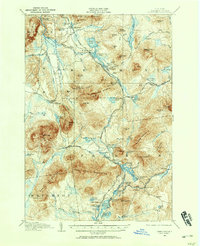
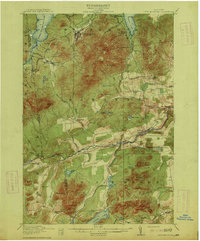
1911 · Lyon Mountain
USGS Topo · 1:62,500
1913 · Lyon Mountain
USGS Topo · 1:62,500
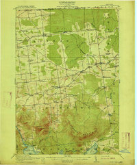
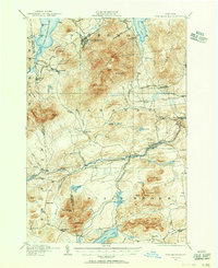
1915 · Churubusco
USGS Topo · 1:62,500
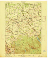
1915 · Chateaugay
USGS Topo · 1:62,500

1931 · Lyon Mountain
USGS Topo · 1:62,500

1943 · Churubusco
USGS Topo · 1:62,500

1943 · Chateaugay
USGS Topo · 1:62,500

1948 · Ogdensburg
USGS Topo · 1:250,000