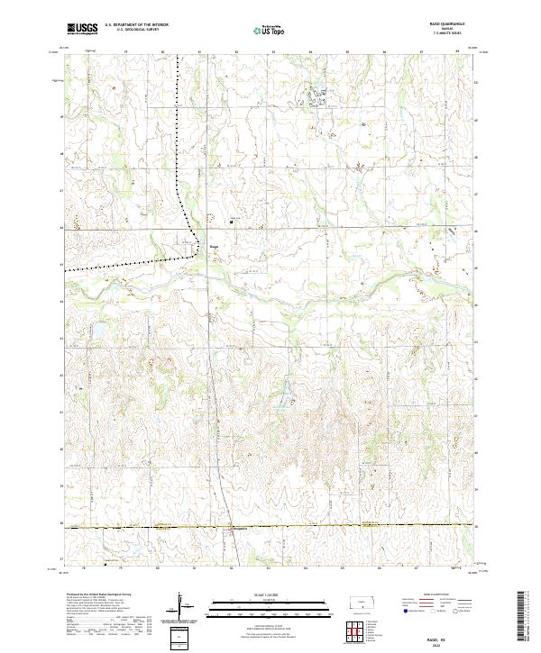
2022 Map of Rago
USGS Topo · Published 2022About this map
Rago and Duquoin anchor this rural landscape in south-central Kansas, where the township lines of Kingman and Harper counties meet. The area is defined by a dendritic network of prairie streams including Red Creek, Rose Bud Creek, and Blue Stem Creek, which drain the gently rolling plains. These watercourses likely dictated the early settlement patterns and road placements, such as S State Rd 14, which bisects the quadrangle vertically. For those tracing local heritage, the map identifies the Rago Cem and Duquoin Cem, alongside the centralized Benningtons Lake. The grid-based road system, with numbered avenues like SE 10 Ave and SE 60 Ave, illustrates the enduring structure of the Public Land Survey System that organized the Kansas wheat belt.
Find a feature on this map
45 named features on this map. Tap any name to fly to it.
Don’t see what you’re looking for? This feature index may not catch every label — zoom into the map to look around manually.
Map Details
Editions of this 2022 Rago Map
This is the sole edition of this map. No revisions or reprints were ever made.
Other maps of this area

1889 · Anthony
USGS Topo · 1:125,000

1889 · Cheney
USGS Topo · 1:125,000

1889 · Caldwell
USGS Topo · 1:125,000

1891 · Cheney
USGS Topo · 1:125,000

1891 · Anthony
USGS Topo · 1:125,000

1892 · Kingman
USGS Topo · 1:125,000

1893 · Caldwell
USGS Topo · 1:125,000

1894 · Kingman
USGS Topo · 1:125,000

1897 · Caldwell
USGS Topo · 1:125,000

1901 · Cheney
USGS Topo · 1:125,000