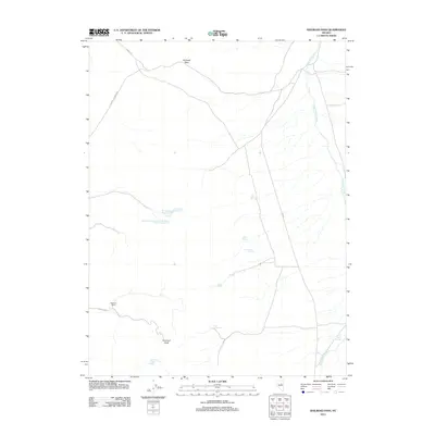
2012 Map of Railroad Pass
USGS Topo · Published 2012About this map
Railroad Pass serves as a central waypoint in this high-desert landscape of White Pine County, where the terrain is marked by isolated ranches and vital water sources. The map identifies the specific locations of the Etchemendy Number One, Number Two, Number Three, and Number Four settlements, suggesting a concentrated ranching or agricultural operation in the center of the quadrangle. To the west, the Baalman Ranch sits near the foot of the hills, while the prominent Diamond Peak anchors the southern boundary. The distribution of named water sources like Della Spring, Nancy Spring, Jim Swayne Spring, and Arthur Spring reveals the critical reliance on groundwater in this arid environment. Transportation through the pass is facilitated by several named routes, including Garcia Fet, Eureka-Thompsons, and Co Rd-1, which connect the remote drainage of Huntington Creek to the broader region.
Find a feature on this map
20 named features on this map. Tap any name to fly to it.
Don’t see what you’re looking for? This feature index may not catch every label — zoom into the map to look around manually.
Map Details
Editions of this 2012 Railroad Pass Map
This is the sole edition of this map. No revisions or reprints were ever made.
Other maps of this area

1934 · Jiggs
USGS Topo · 1:125,000

1937 · Jiggs
USGS Topo · 1:125,000

1955 · Elko
USGS Topo · 1:250,000

1956 · Ely
USGS Topo · 1:250,000

1957 · Diamond Springs
USGS Topo · 1:62,500

1957 · Cold Creek Ranch
USGS Topo · 1:62,500

1958 · Elko
USGS Topo · 1:250,000

1959 · Ely
USGS Topo · 1:250,000

1959 · Railroad Pass
USGS Topo · 1:62,500

1959 · Sherman Mtn
USGS Topo · 1:62,500