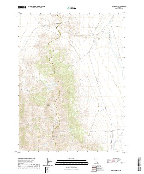
2021 Map of Railroad Pass
USGS Topo · Published 2021About this map
The Diamond Mountains dominate this high-desert corridor where the border of Eureka and White Pine counties follows the high ridgeline. This landscape is defined by the sharp transition from the elevated peaks, such as Diamond Peak, down into the broad Huntington Valley to the east. Water is the primary driver of geography here, with a series of named desert seeps providing critical points of reference in an otherwise arid environment, including Jim Swayne Spring, Dora Spring, and Arthur Spring. The map documents a series of specific land features labeled as Etchemendy Number One through Etchemendy Number Four, likely reflecting local sheep-ranching history or grazing allotments along the western slopes. Access to this high country is primarily via the historic Railroad Pass Rd and White Pine Co Road 1, which navigate the rugged drainages of Fourmile Canyon and Fivemile Canyon.
Find a feature on this map
28 named features on this map. Tap any name to fly to it.
Don’t see what you’re looking for? This feature index may not catch every label — zoom into the map to look around manually.
Map Details
Editions of this 2021 Railroad Pass Map
This is the sole edition of this map. No revisions or reprints were ever made.
Other maps of this area

1934 · Jiggs
USGS Topo · 1:125,000

1937 · Jiggs
USGS Topo · 1:125,000

1955 · Elko
USGS Topo · 1:250,000

1956 · Ely
USGS Topo · 1:250,000

1957 · Diamond Springs
USGS Topo · 1:62,500

1957 · Cold Creek Ranch
USGS Topo · 1:62,500

1958 · Elko
USGS Topo · 1:250,000

1959 · Ely
USGS Topo · 1:250,000

1959 · Railroad Pass
USGS Topo · 1:62,500

1959 · Sherman Mtn
USGS Topo · 1:62,500