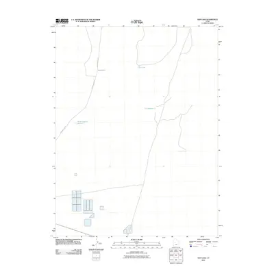
2010 Map of Rain Lake
USGS Topo · Published 2010About this map
The arid expanse of Millard County is defined here by essential water management and infrastructure during the early 21st century. Desert Mountain Rd serves as the primary artery through this desert landscape, passing by the established Nooning Ground. The importance of water storage in this dry environment is evident through several mapped basins, including Rain Lake, the CCC Reservoir, and North Sugarville Reservoir. To the southeast, industrial activity is marked by the presence of Delta Well Number 1, indicating the region's reliance on subterranean resources. The layout of these features suggests a landscape transitioned from traditional rangeland use toward more modern resource extraction and structured water control.
Find a feature on this map
6 named features on this map. Tap any name to fly to it.
Don’t see what you’re looking for? This feature index may not catch every label — zoom into the map to look around manually.
Map Details
Editions of this 2010 Rain Lake Map
This is the sole edition of this map. No revisions or reprints were ever made.
Other maps of this area

1885 · Sevier Desert
USGS Topo · 1:250,000

1951 · Oak City
USGS Topo · 1:62,500

1953 · Delta
USGS Topo · 1:250,000

1958 · Delta
USGS Topo · 1:250,000

1962 · Delta
USGS Topo · 1:250,000

1962 · Lynndyl
USGS Topo · 1:62,500

1962 · Delta
USGS Topo · 1:62,500

1971 · Baker Hot Springs
USGS Topo · 1:24,000

1971 · Rain Lake
USGS Topo · 1:24,000

1971 · Crater Bench Reservoir
USGS Topo · 1:24,000