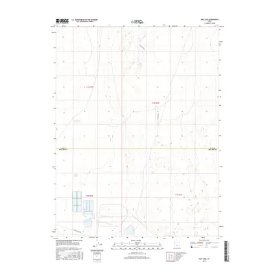
2017 Map of Rain Lake
USGS Topo · Published 2017About this map
The borderlands between Juab and Millard Counties are defined by an arid, sparsely populated landscape managed for water storage and access. Rain Lake serves as a primary geographic anchor in this high desert environment, surrounded by a network of functional roads such as Sweats Cow Rd and Sand Dune Rd. These routes provide essential transit through a region characterized by sectioned townships, including t14s r7w and t15s r6w.
Find a feature on this map
11 named features on this map. Tap any name to fly to it.
Don’t see what you’re looking for? This feature index may not catch every label — zoom into the map to look around manually.
Map Details
Editions of this 2017 Rain Lake Map
This is the sole edition of this map. No revisions or reprints were ever made.
Other maps of this area

1885 · Sevier Desert
USGS Topo · 1:250,000

1951 · Oak City
USGS Topo · 1:62,500

1953 · Delta
USGS Topo · 1:250,000

1958 · Delta
USGS Topo · 1:250,000

1962 · Delta
USGS Topo · 1:250,000

1962 · Lynndyl
USGS Topo · 1:62,500

1962 · Delta
USGS Topo · 1:62,500

1971 · Baker Hot Springs
USGS Topo · 1:24,000

1971 · Rain Lake
USGS Topo · 1:24,000

1971 · Crater Bench Reservoir
USGS Topo · 1:24,000