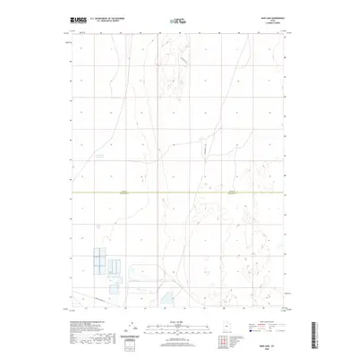
2020 Map of Rain Lake
USGS Topo · Published 2020About this map
The boundary between Juab Co and Millard Co divides this arid landscape, where water management features define the local geography. Small, named water bodies such as Rain Lake and CCC Reservoir are critical landmarks in a region dominated by wide-open terrain and section lines. Further west, N Sugarville Reservoir sits near the northern edge of industrial developments. The transportation network is sparse, consisting of specialized routes like Sweats Cow Rd and Sand Dune Rd, which suggest the area's agricultural and grazing history. In the south, the presence of Brush Wellman Rd near several large industrial settling ponds or facilities indicates the region's importance to Utah's mineral extraction and refining sectors.
Find a feature on this map
7 named features on this map. Tap any name to fly to it.
Don’t see what you’re looking for? This feature index may not catch every label — zoom into the map to look around manually.
Map Details
Editions of this 2020 Rain Lake Map
This is the sole edition of this map. No revisions or reprints were ever made.
Other maps of this area

1885 · Sevier Desert
USGS Topo · 1:250,000

1951 · Oak City
USGS Topo · 1:62,500

1953 · Delta
USGS Topo · 1:250,000

1958 · Delta
USGS Topo · 1:250,000

1962 · Delta
USGS Topo · 1:250,000

1962 · Lynndyl
USGS Topo · 1:62,500

1962 · Delta
USGS Topo · 1:62,500

1971 · Baker Hot Springs
USGS Topo · 1:24,000

1971 · Rain Lake
USGS Topo · 1:24,000

1971 · Crater Bench Reservoir
USGS Topo · 1:24,000