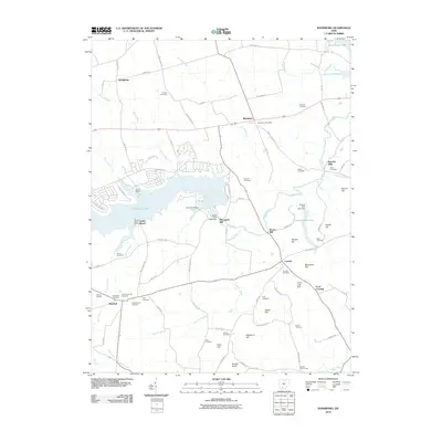
2010 Map of Rainsboro
USGS Topo · Published 2010About this map
Rocky Fork Lake serves as a central geographical feature in this Highland County landscape, where the waters of Rocky Fork and Blinco Branch are impounded near the Rocky Fork Lake Dam. The area around Rainsboro and Marshall is defined by a dense network of family-named cemeteries and landmarks that speak to generations of local settlement. Genealogy researchers can locate the Friends Cemetery, Hartman Cemetery, and Zink Cemetery, among many others scattered across the hills.
Find a feature on this map
96 named features on this map. Tap any name to fly to it.
Don’t see what you’re looking for? This feature index may not catch every label — zoom into the map to look around manually.
Map Details
Editions of this 2010 Rainsboro Map
This is the sole edition of this map. No revisions or reprints were ever made.
Other maps of this area

1915 · Bainbridge
USGS Topo · 1:48,000

1917 · Bainbridge
USGS Topo · 1:62,500

1917 · Greenfield
USGS Topo · 1:62,500

1917 · Hillsboro
USGS Topo · 1:62,500

1917 · Sabina
USGS Topo · 1:62,500

1943 · Sabina
USGS Topo · 1:62,500

1944 · Hillsboro
USGS Topo · 1:62,500

1944 · Greenfield
USGS Topo · 1:62,500

1947 · Columbus
USGS Topo · 1:250,000

1960 · Greenfield
USGS Topo · 1:24,000