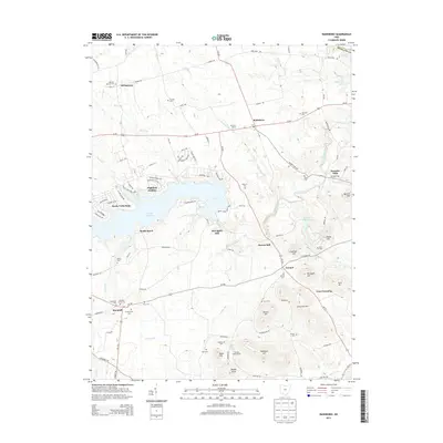
2013 Map of Rainsboro
USGS Topo · Published 2013About this map
Rocky Fork State Park and the waters of Rocky Fork Lake dominate this portion of Highland County, anchoring a landscape where recreational development meets traditional agricultural roots. The map documents the lakeside communities of Highland Holiday, Rocky Fork Point, and South Beach, contrasting these newer settlements with established village centers like Marshall and Rainsboro. The area is notably defined by its many early burial grounds, including the Hicksite Quaker Cem and Friends Cem, which serve as critical markers for genealogical research in this part of Ohio.
Find a feature on this map
117 named features on this map. Tap any name to fly to it.
Don’t see what you’re looking for? This feature index may not catch every label — zoom into the map to look around manually.
Map Details
Editions of this 2013 Rainsboro Map
This is the sole edition of this map. No revisions or reprints were ever made.
Other maps of this area

1915 · Bainbridge
USGS Topo · 1:48,000

1917 · Bainbridge
USGS Topo · 1:62,500

1917 · Greenfield
USGS Topo · 1:62,500

1917 · Hillsboro
USGS Topo · 1:62,500

1917 · Sabina
USGS Topo · 1:62,500

1943 · Sabina
USGS Topo · 1:62,500

1944 · Hillsboro
USGS Topo · 1:62,500

1944 · Greenfield
USGS Topo · 1:62,500

1947 · Columbus
USGS Topo · 1:250,000

1960 · Greenfield
USGS Topo · 1:24,000