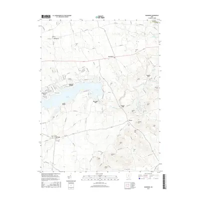
2016 Map of Rainsboro
USGS Topo · Published 2016About this map
Rocky Fork Lake dominates the central landscape of this Highland County region, where the water is fed by Rocky Fork and tributaries like Blinco Br. The settlement of Marshall serves as a local hub near the southwestern corner, notable for its concentration of early religious sites including the Methodist Cem, Christian Union Cem, and Presbyterian Cem. This area reflects a deep history of Quaker and pioneer settlement, evidenced by the Hicksite Quaker Cem near Stringtown and the Friends Cem further south.
Find a feature on this map
150 named features on this map. Tap any name to fly to it.
Don’t see what you’re looking for? This feature index may not catch every label — zoom into the map to look around manually.
Map Details
Editions of this 2016 Rainsboro Map
This is the sole edition of this map. No revisions or reprints were ever made.
Other maps of this area

1915 · Bainbridge
USGS Topo · 1:48,000

1917 · Bainbridge
USGS Topo · 1:62,500

1917 · Greenfield
USGS Topo · 1:62,500

1917 · Hillsboro
USGS Topo · 1:62,500

1917 · Sabina
USGS Topo · 1:62,500

1943 · Sabina
USGS Topo · 1:62,500

1944 · Hillsboro
USGS Topo · 1:62,500

1944 · Greenfield
USGS Topo · 1:62,500

1947 · Columbus
USGS Topo · 1:250,000

1960 · Greenfield
USGS Topo · 1:24,000