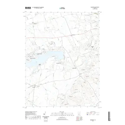
2019 Map of Rainsboro
USGS Topo · Published 2019About this map
Rocky Fork Lake dominates the central landscape of this Highland County region, its northern shores lined with the residential clusters of Highland Holiday and South Beach. The map reveals a deep history of milling and agriculture along the water, with several historically named sites such as McCoppin Mill, Beaver Mill, and the settlement of Barretts Mills on Factory Br. Genealogists will find a dense concentration of early burial grounds, including the Hicksite Quaker Cem and Friends Cem near Stringtown. The topography transitions from the lake basin to several named heights in the southeast, such as Long Lick Hill and Irons Mtn. In the southwest, the village of Marshall serves as a local hub, surrounded by a network of rural cemeteries including the Christian Union Cem and Presbyterian Cem.
Find a feature on this map
129 named features on this map. Tap any name to fly to it.
Don’t see what you’re looking for? This feature index may not catch every label — zoom into the map to look around manually.
Map Details
Editions of this 2019 Rainsboro Map
This is the sole edition of this map. No revisions or reprints were ever made.
Other maps of this area

1915 · Bainbridge
USGS Topo · 1:48,000

1917 · Bainbridge
USGS Topo · 1:62,500

1917 · Greenfield
USGS Topo · 1:62,500

1917 · Hillsboro
USGS Topo · 1:62,500

1917 · Sabina
USGS Topo · 1:62,500

1943 · Sabina
USGS Topo · 1:62,500

1944 · Hillsboro
USGS Topo · 1:62,500

1944 · Greenfield
USGS Topo · 1:62,500

1947 · Columbus
USGS Topo · 1:250,000

1960 · Greenfield
USGS Topo · 1:24,000