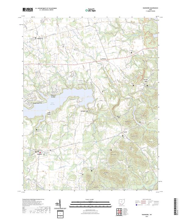
2023 Map of Rainsboro
USGS Topo · Published 2023About this map
Rocky Fork Lake anchors this part of Highland County, providing a central geography for several small settlements and rural landmarks. Established mill sites like McCoppin Mill, Beaver Mill, and Barretts Mills suggest a history tied to the drainage patterns of Rocky Fork and its tributaries, such as Puncheon Run and Plum Run. These waterways historically dictated the location of industry and early homesteads across the undulating landscape.
Find a feature on this map
134 named features on this map. Tap any name to fly to it.
Don’t see what you’re looking for? This feature index may not catch every label — zoom into the map to look around manually.
Map Details
Editions of this 2023 Rainsboro Map
This is the sole edition of this map. No revisions or reprints were ever made.
Other maps of this area

1915 · Bainbridge
USGS Topo · 1:48,000

1917 · Bainbridge
USGS Topo · 1:62,500

1917 · Greenfield
USGS Topo · 1:62,500

1917 · Hillsboro
USGS Topo · 1:62,500

1917 · Sabina
USGS Topo · 1:62,500

1943 · Sabina
USGS Topo · 1:62,500

1944 · Hillsboro
USGS Topo · 1:62,500

1944 · Greenfield
USGS Topo · 1:62,500

1947 · Columbus
USGS Topo · 1:250,000

1960 · Greenfield
USGS Topo · 1:24,000