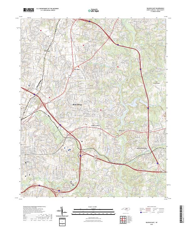
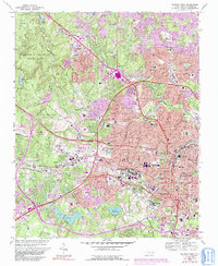
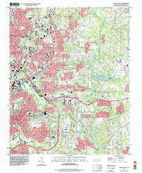
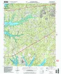
2022 Map of Raleigh East
USGS Topo · Published 2022About this map
Raleigh expands eastward toward the Neuse River in this detailed survey of the suburban and industrial landscape. The mapping provides a clear view of the city's growth, where modern thoroughfares like Capital Blvd and New Bern Ave intersect with established communities such as New Hope and Wilders Grove. Significant cultural and institutional sites are identified, including the grounds of Saint Augustine's University and the expansive Oakwood Cem and Raleigh National Cem.
Find a feature on this map
31 named features on this map. Tap any name to fly to it.
Don’t see what you’re looking for? This feature index may not catch every label — zoom into the map to look around manually.
Map Details
Editions of this 2022 Raleigh East Map
This is the sole edition of this map. No revisions or reprints were ever made.
Historical Maps of Knightdale Through Time
18 maps found
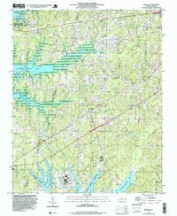
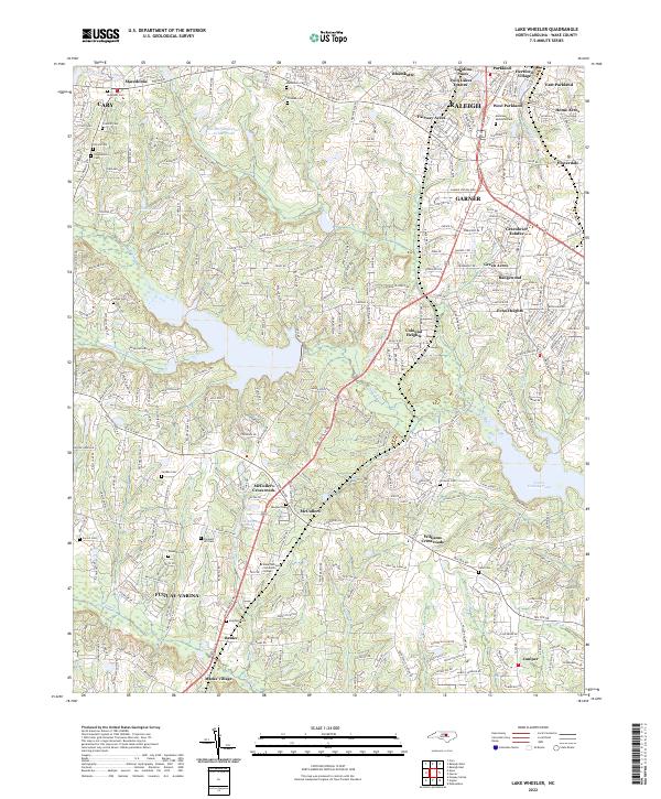
1964 Lake Wheeler
Wake County, NC
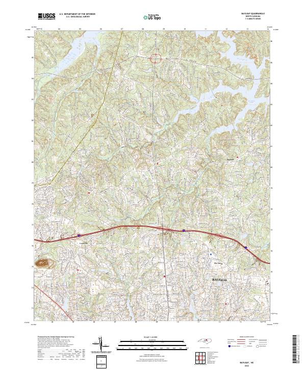
1967 Bayleaf
Wake County, NC
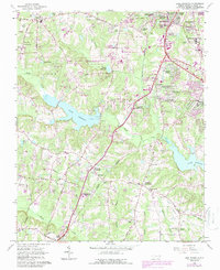
1968 Raleigh East
Wake County, NC
1968 Raleigh West
Wake County, NC
1974 New Hill
Wake County, NC
1993 Bayleaf
Wake County, NC
1993 Lake Wheeler
Wake County, NC
1993 New Hill
Wake County, NC
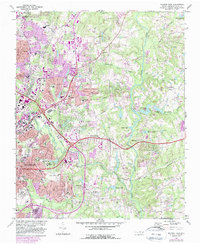
1993 Raleigh East
Wake County, NC
1993 Raleigh West
Wake County, NC
2002 Lake Wheeler
Wake County, NC
2002 New Hill
Wake County, NC
2002 Raleigh West
Wake County, NC
2022 Bayleaf
Wake County, NC
2022 Lake Wheeler
Wake County, NC
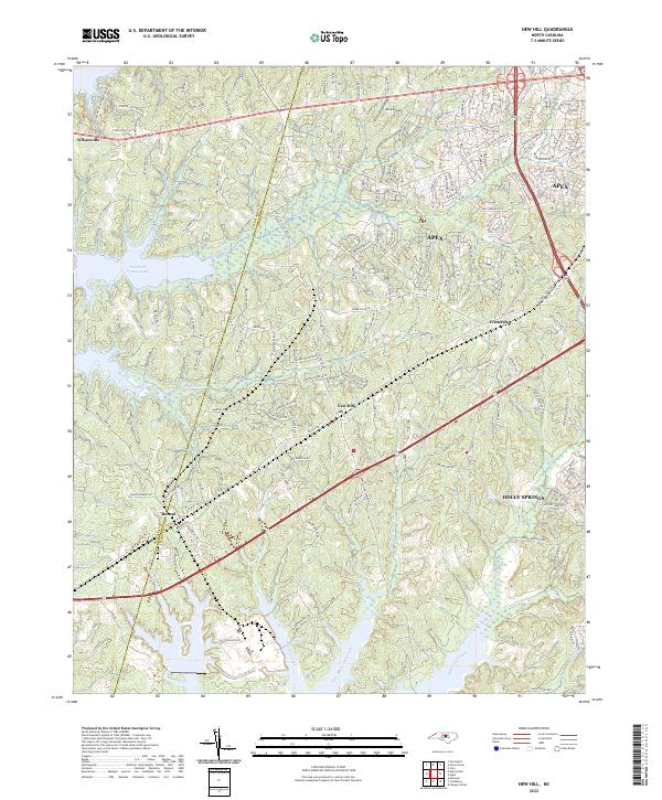
2022 New Hill
Wake County, NC
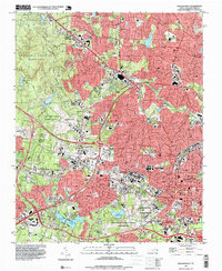
2022 Raleigh East
Wake County, NC
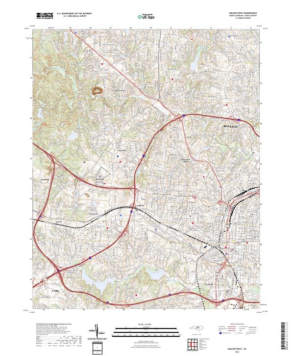
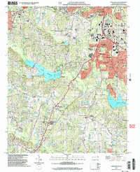
2022 Raleigh West
Wake County, NC