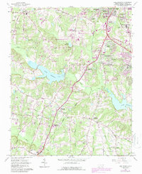
1964 Map of Lake Wheeler
USGS Topo · Published 1987About this map
Lake Wheeler and the Swift Creek valley dominate this landscape south of Raleigh, capturing the transition from the capital's southern suburbs to the rural farmland of Wake County. In the mid-1960s, the area south of the city was defined by expanding residential neighborhoods like Carolina Pines, Greenbrier Estates, and Echo Heights, while much of the central map remained dedicated to the North Carolina State University Research Units and agricultural heritage near Yates Millpond.
Find a feature on this map
67 named features on this map. Tap any name to fly to it.
Don’t see what you’re looking for? This feature index may not catch every label — zoom into the map to look around manually.
Map Details
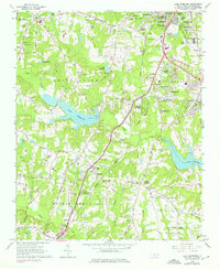
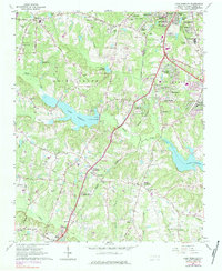
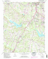
Editions of this 1964 Lake Wheeler Map
5 editions found
Other maps of this area

1943 · Durham South
USGS Topo · 1:62,500

1943 · Raleigh
USGS Topo · 1:62,500

1951 · Raleigh
USGS Topo · 1:62,500

1951 · Durham South
USGS Topo · 1:62,500

1953 · Raleigh
USGS Topo · 1:250,000

1954 · Raleigh
USGS Topo · 1:250,000

1964 · Lake Wheeler
USGS Topo · 1:24,000

1964 · Garner
USGS Topo · 1:24,000

1964 · Angier
USGS Topo · 1:24,000

1964 · Edmondson
USGS Topo · 1:24,000