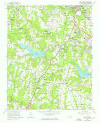
1964 Map of Lake Wheeler
USGS Topo · Published 1975About this map
Lake Wheeler and the surrounding Swift Creek basin show a landscape in transition during the mid-1960s, as the southern outskirts of Raleigh began to expand toward Garner. The area is densely dotted with genealogical landmarks, from family-named cemeteries like Stephens Cem and Franklin Cem to several local congregations including Inwood Ch and Catawba Springs Ch. The presence of the State School for Blind and Deaf and the Raleigh Airport highlights the civic infrastructure serving this growing corner of Wake County.
Find a feature on this map
83 named features on this map. Tap any name to fly to it.
Don’t see what you’re looking for? This feature index may not catch every label — zoom into the map to look around manually.
Map Details
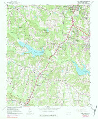
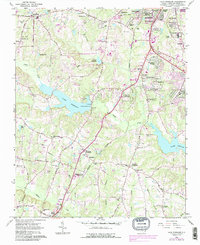
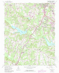
Editions of this 1964 Lake Wheeler Map
5 editions found
Other maps of this area

1943 · Durham South
USGS Topo · 1:62,500

1943 · Raleigh
USGS Topo · 1:62,500

1951 · Raleigh
USGS Topo · 1:62,500

1951 · Durham South
USGS Topo · 1:62,500

1953 · Raleigh
USGS Topo · 1:250,000

1954 · Raleigh
USGS Topo · 1:250,000

1964 · Lake Wheeler
USGS Topo · 1:24,000

1964 · Garner
USGS Topo · 1:24,000

1964 · Angier
USGS Topo · 1:24,000

1964 · Edmondson
USGS Topo · 1:24,000