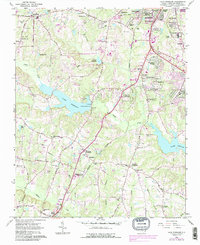
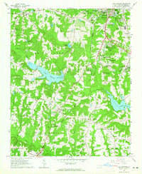
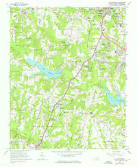
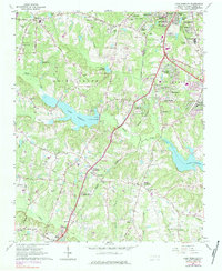
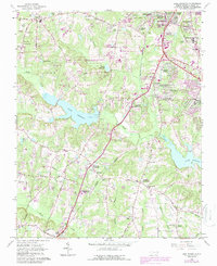
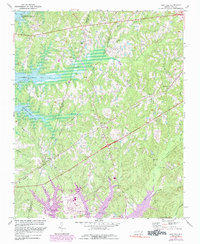
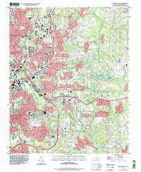
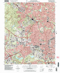
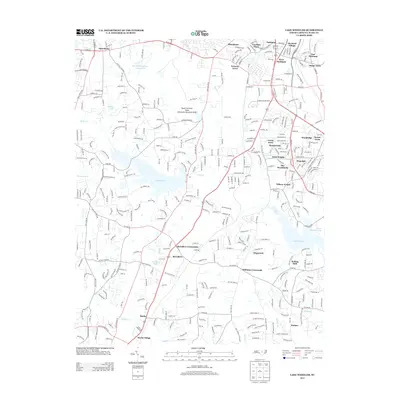
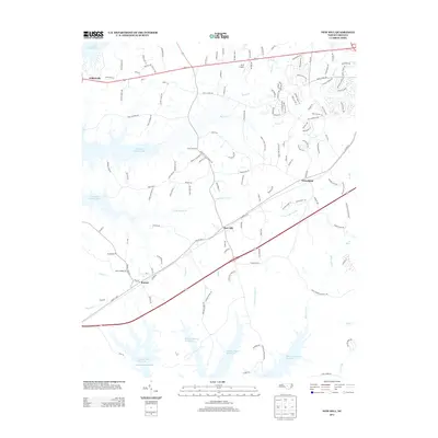
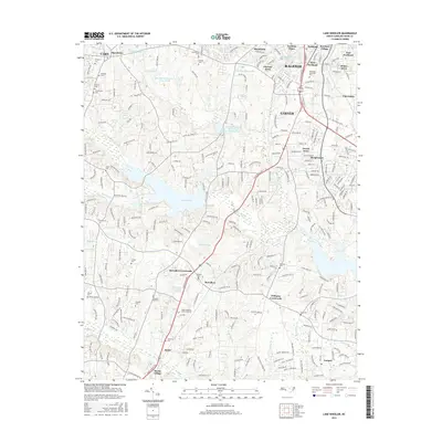
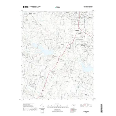
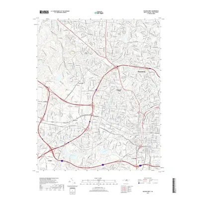
1964 Map of Lake Wheeler
USGS Topo · Published 1987About this map
The rolling landscape south of Raleigh is defined by a series of water bodies and converging rail lines in the mid-1960s. Swift Creek and Middle Creek drain the area, feeding significant reservoirs like Lake Wheeler and Lake Benson. The cultural landscape is marked by historic infrastructure like Yates Millpond and institutional footprints such as the State School for Blind and Deaf. Transportation corridors including the Norfolk Southern and Southern railroads bisect the quadrangle, passing through crossroads and developing suburban tracts.
Find a feature on this map
85 named features on this map. Tap any name to fly to it.
Don’t see what you’re looking for? This feature index may not catch every label — zoom into the map to look around manually.
Map Details
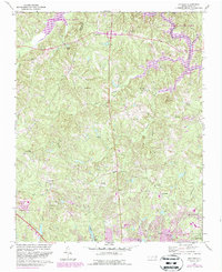
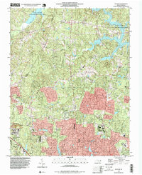
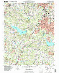
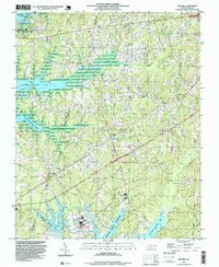
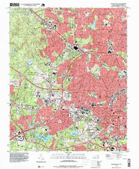
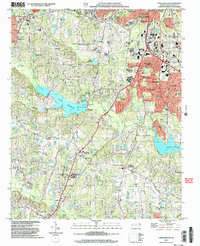
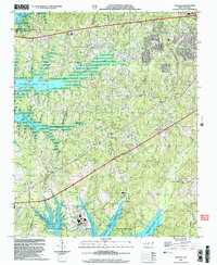
Editions of this 1964 Lake Wheeler Map
5 editions found
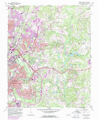
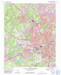
Historical Maps of Raleigh Through Time
38 maps found
1964 Lake Wheeler
Wake County, NC
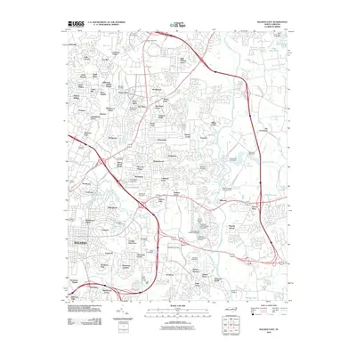
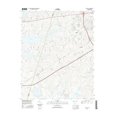
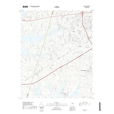
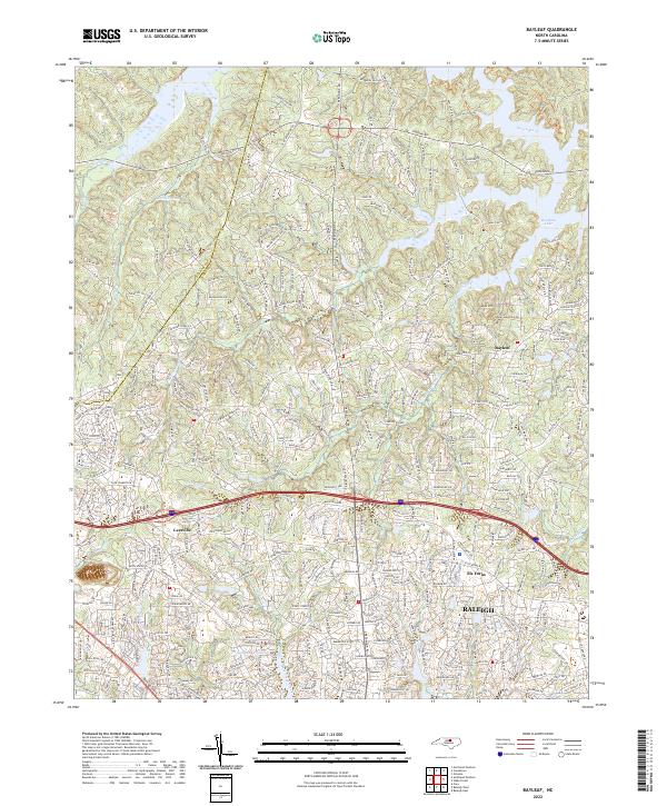
1967 Bayleaf
Wake County, NC
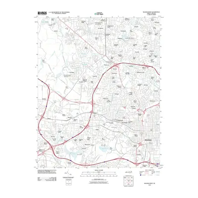
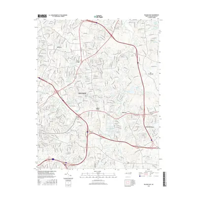
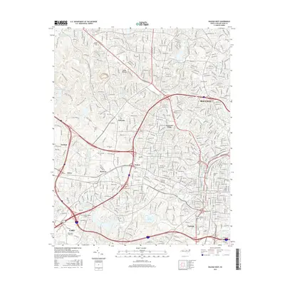
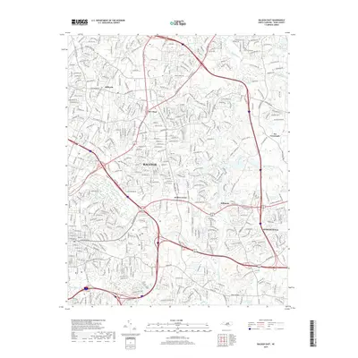
1968 Raleigh East
Wake County, NC
1968 Raleigh West
Wake County, NC
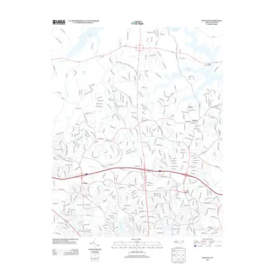
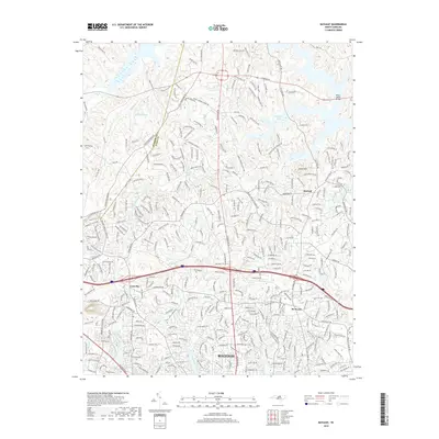
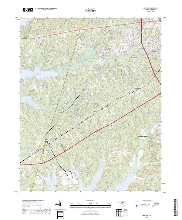
1974 New Hill
Wake County, NC
1993 Bayleaf
Wake County, NC
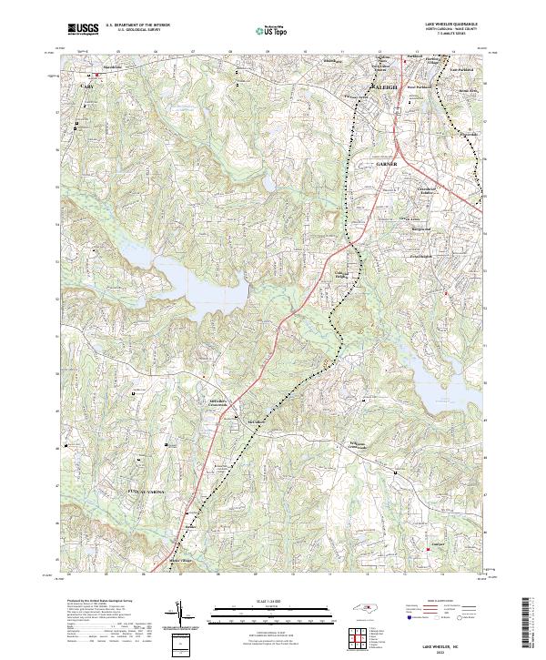
1993 Lake Wheeler
Wake County, NC
1993 New Hill
Wake County, NC
1993 Raleigh East
Wake County, NC
1993 Raleigh West
Wake County, NC
2002 Lake Wheeler
Wake County, NC
2002 New Hill
Wake County, NC
2002 Raleigh West
Wake County, NC
2010 Bayleaf
Wake County, NC
2010 Lake Wheeler
Wake County, NC
2010 New Hill
Wake County, NC
2010 Raleigh East
Wake County, NC
2010 Raleigh West
Wake County, NC
2013 Bayleaf
Wake County, NC
2013 Lake Wheeler
Wake County, NC
2013 New Hill
Wake County, NC
2013 Raleigh East
Wake County, NC
2013 Raleigh West
Wake County, NC
2016 Bayleaf
Wake County, NC
2016 Lake Wheeler
Wake County, NC
2016 New Hill
Wake County, NC
2016 Raleigh East
Wake County, NC
2016 Raleigh West
Wake County, NC
2019 Bayleaf
Wake County, NC
2019 Lake Wheeler
Wake County, NC
2019 New Hill
Wake County, NC
2019 Raleigh East
Wake County, NC
2019 Raleigh West
Wake County, NC
2022 Bayleaf
Wake County, NC
2022 Lake Wheeler
Wake County, NC
2022 New Hill
Wake County, NC
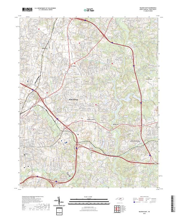
2022 Raleigh East
Wake County, NC
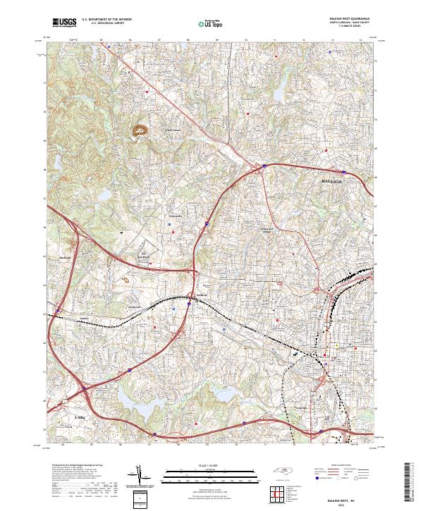
2022 Raleigh West
Wake County, NC