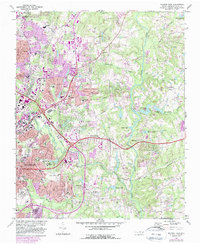
1968 Map of Raleigh East
USGS Topo · Published 1987About this map
Raleigh expands eastward in this late-sixties survey, updated with late-eighties suburban growth shown in purple. The landscape is defined by the Neuse River and its tributaries, including Crabtree Creek and Walnut Creek, which feed several local impoundments such as Milburnie Lake and Bridges Lake. Educational and institutional landmarks anchor the western edge of the map, notably St Augustines Coll and the sprawling State Correctional Center.
Find a feature on this map
67 named features on this map. Tap any name to fly to it.
Don’t see what you’re looking for? This feature index may not catch every label — zoom into the map to look around manually.
Map Details
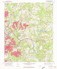
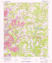
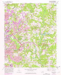
Editions of this 1968 Raleigh East Map
4 editions found
Other maps of this area

1943 · Raleigh
USGS Topo · 1:62,500

1951 · Raleigh
USGS Topo · 1:62,500

1953 · Raleigh
USGS Topo · 1:250,000

1954 · Raleigh
USGS Topo · 1:250,000

1964 · Lake Wheeler
USGS Topo · 1:24,000

1964 · Garner
USGS Topo · 1:24,000

1964 · Selma
USGS Topo · 1:62,500

1964 · Clayton
USGS Topo · 1:24,000

1964 · Garner
USGS Topo · 1:62,500

1967 · Knightdale
USGS Topo · 1:24,000