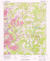
1968 Map of Raleigh East
USGS Topo · Published 1976About this map
Raleigh expands eastward in the mid-1970s, where urban development meets the winding course of the Neuse River. The landscape is defined by the intersection of major transit corridors, including the Seaboard Coast Line and Norfolk Southern railroads, which support the region's industrial and institutional infrastructure. Key landmarks like St Augustines College and the State Correctional Center anchor the western edge, while suburban growth pushes toward older communities like Millbrook and New Hope. Significant water features such as Milburnie Lake and Crabtree Creek highlight the drainage patterns that shaped local settlement. This survey, updated with 1973 aerial data, captures a transitional era for the state capital as residential subdivisions begin to displace the woodlands near Pet Crossroads and Wilders Grove.
Find a feature on this map
67 named features on this map. Tap any name to fly to it.
Don’t see what you’re looking for? This feature index may not catch every label — zoom into the map to look around manually.
Map Details
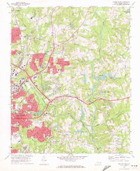
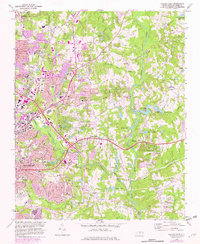
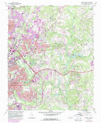
Editions of this 1968 Raleigh East Map
4 editions found
Other maps of this area

1943 · Raleigh
USGS Topo · 1:62,500

1951 · Raleigh
USGS Topo · 1:62,500

1953 · Raleigh
USGS Topo · 1:250,000

1954 · Raleigh
USGS Topo · 1:250,000

1964 · Lake Wheeler
USGS Topo · 1:24,000

1964 · Garner
USGS Topo · 1:24,000

1964 · Selma
USGS Topo · 1:62,500

1964 · Clayton
USGS Topo · 1:24,000

1964 · Garner
USGS Topo · 1:62,500

1967 · Knightdale
USGS Topo · 1:24,000