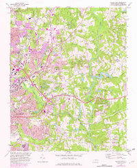
1968 Map of Raleigh East
USGS Topo · Published 1982About this map
The eastern edges of Raleigh undergo significant suburban transformation as of the late 1960s, evidenced by the expansion of residential developments near New Hope and Wilders Grove. The city's institutional landscape is well-defined, from the campus of St Augustines College and the Wake Memorial Hosp to the State Correctional Center. Moving away from the urban center, the terrain opens into a network of creeks and small lakes, including Milburnie Lake and Beaverdam Lake, situated along the winding course of the Neuse River.
Find a feature on this map
75 named features on this map. Tap any name to fly to it.
Don’t see what you’re looking for? This feature index may not catch every label — zoom into the map to look around manually.
Map Details
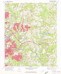
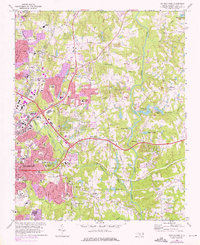
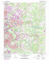
Editions of this 1968 Raleigh East Map
4 editions found
Other maps of this area

1943 · Raleigh
USGS Topo · 1:62,500

1951 · Raleigh
USGS Topo · 1:62,500

1953 · Raleigh
USGS Topo · 1:250,000

1954 · Raleigh
USGS Topo · 1:250,000

1964 · Lake Wheeler
USGS Topo · 1:24,000

1964 · Garner
USGS Topo · 1:24,000

1964 · Selma
USGS Topo · 1:62,500

1964 · Clayton
USGS Topo · 1:24,000

1964 · Garner
USGS Topo · 1:62,500

1967 · Knightdale
USGS Topo · 1:24,000