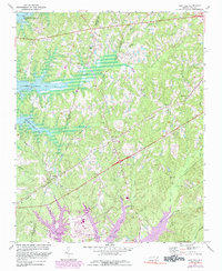
1974 Map of New Hill
USGS Topo · Published 1989About this map
B Everett Jordan Lake dominates the western portion of this landscape, its newly formed shoreline reaching into the drainage basins of Beaver Creek and White Oak Creek. This 1970s survey captures the area during a period of significant environmental transition as the reservoir waters began to reshape the local topography. Away from the water, the settlement pattern is defined by the intersections of the Norfolk Southern and Seaboard Coast Line railroads, which once supported rural communities like New Hill, Bonsal, and Friendship. Local history is deeply rooted in the rural road network, where community hubs are marked by Olive Chapel, Christian Chapel, and the Pleasant Plains Sch. Purple revisions highlight emerging land use changes, including the development of a pipeline and a Landing Strip, signaling the modernization of this section of Wake and Chatham counties.
Find a feature on this map
28 named features on this map. Tap any name to fly to it.
Don’t see what you’re looking for? This feature index may not catch every label — zoom into the map to look around manually.
Map Details
Editions of this 1974 New Hill Map
4 editions found
Other maps of this area

1943 · Durham South
USGS Topo · 1:62,500

1951 · Farrington
USGS Topo · 1:24,000

1951 · Durham South
USGS Topo · 1:62,500

1953 · Raleigh
USGS Topo · 1:250,000

1954 · Raleigh
USGS Topo · 1:250,000

1969 · New Hope Dam
USGS Topo · 1:24,000

1970 · Moncure
USGS Topo · 1:24,000
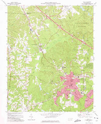
1973 · Cary
USGS Topo · 1:24,000
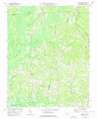
1973 · Green Level
USGS Topo · 1:24,000

1974 · Apex
USGS Topo · 1:24,000