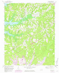
1974 Map of New Hill
USGS Topo · Published 1982About this map
B Everett Jordan Lake dominates the northwestern landscape of this survey, with blue hatching indicating expansive areas subject to controlled inundation. The region's transport network is defined by a dense intersection of rail lines, including the Seaboard Coast Line and the Norfolk Southern, which converge near the settlements of New Hill and Bonsal. These rails served as the lifeblood for rural communities like Friendship, where small churches and family landmarks provided the social anchor for the countryside.
Find a feature on this map
42 named features on this map. Tap any name to fly to it.
Don’t see what you’re looking for? This feature index may not catch every label — zoom into the map to look around manually.
Map Details
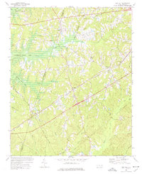
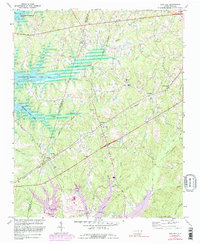
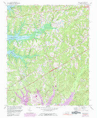
Editions of this 1974 New Hill Map
4 editions found
Other maps of this area

1943 · Durham South
USGS Topo · 1:62,500

1951 · Farrington
USGS Topo · 1:24,000

1951 · Durham South
USGS Topo · 1:62,500

1953 · Raleigh
USGS Topo · 1:250,000

1954 · Raleigh
USGS Topo · 1:250,000

1969 · New Hope Dam
USGS Topo · 1:24,000

1970 · Moncure
USGS Topo · 1:24,000
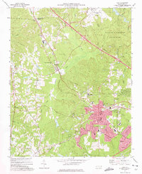
1973 · Cary
USGS Topo · 1:24,000
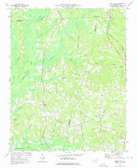
1973 · Green Level
USGS Topo · 1:24,000

1974 · Apex
USGS Topo · 1:24,000