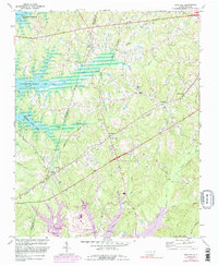
1974 Map of New Hill
USGS Topo · Published 1989About this map
The B Everett Jordan Lake dominates the northwest corner of this map, representing a significant landscape transformation along the Chatham and Wake County line. In the center, New Hill serves as a local hub near the junction of major rail lines, including the Seaboard Coast Line and the Norfolk Southern railroad. The map documents a predominantly rural landscape punctuated by several country churches that anchored these communities, such as Olive Chapel, Christian Chapel, and Mt Zion Ch. South of the lake, the terrain transitions into a network of small watercourses like Beaver Creek and White Oak Creek. The inclusion of local landmarks like Cedar Rock and the small settlement of Bonsal provides a detailed look at the region's mid-century development before further suburban expansion changed the character of western Wake County.
Find a feature on this map
38 named features on this map. Tap any name to fly to it.
Don’t see what you’re looking for? This feature index may not catch every label — zoom into the map to look around manually.
Map Details
Editions of this 1974 New Hill Map
4 editions found
Other maps of this area

1943 · Durham South
USGS Topo · 1:62,500

1951 · Farrington
USGS Topo · 1:24,000

1951 · Durham South
USGS Topo · 1:62,500

1953 · Raleigh
USGS Topo · 1:250,000

1954 · Raleigh
USGS Topo · 1:250,000

1969 · New Hope Dam
USGS Topo · 1:24,000

1970 · Moncure
USGS Topo · 1:24,000
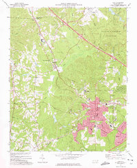
1973 · Cary
USGS Topo · 1:24,000
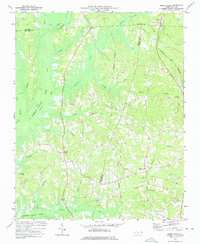
1973 · Green Level
USGS Topo · 1:24,000

1974 · Apex
USGS Topo · 1:24,000