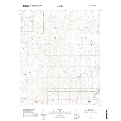
2018 Map of Ralph
USGS Topo · Published 2018About this map
Ralph and Snoddy anchor this West Alabama landscape where the borders of Tuscaloosa and Greene Counties meet. The area is defined by a dense network of creek drainages, including Taylor Cr, Buck Cr, and Little Buck Cr, which carve through the woodland and small clearings. For those researching local lineages, the map identifies numerous burial grounds such as Old Shiloh Cem, Mount Herman Cem, and Wesley Chapel Cem, many of which are situated along the ridges overlooking the valley floors. Significant hydrological features like Copperas Springs and Reed Swamp emphasize the low-lying, water-rich nature of the terrain. The transition from established county roads like Sipsey Valley Rd to smaller routes like Joseph Wilder Rd illustrates the rural development patterns of the early 21st century.
Find a feature on this map
70 named features on this map. Tap any name to fly to it.
Don’t see what you’re looking for? This feature index may not catch every label — zoom into the map to look around manually.
Map Details
Editions of this 2018 Ralph Map
This is the sole edition of this map. No revisions or reprints were ever made.
Other maps of this area

1924 · Tuscaloosa
USGS Topo · 1:62,500

1926 · Tuscaloosa
USGS Topo · 1:62,500

1927 · Eutaw
USGS Topo · 1:48,000

1931 · Eutaw
USGS Topo · 1:62,500

1953 · Montgomery
USGS Topo · 1:250,000

1953 · Birmingham
USGS Topo · 1:250,000

1956 · Birmingham
USGS Topo · 1:250,000

1956 · Montgomery
USGS Topo · 1:250,000

1957 · Birmingham
USGS Topo · 1:250,000

1957 · Montgomery
USGS Topo · 1:250,000