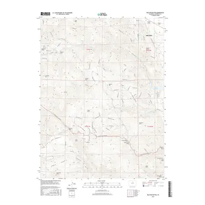
2016 Map of Ralston Buttes
USGS Topo · Published 2016About this map
Ralston Buttes rises above a landscape defined by deep gulches and significant drainage networks north of Clear Creek Canyon. This 2016 survey shows the western edge of Arvada transitioning into the foothills, where the eponymous peaks stand near Rocky Flats. The map reveals a complex web of modern trails and old roads, such as Mustang Trail and Rawhide, which snake around Belcher Hill and into Golden Gate Canyon.
Find a feature on this map
88 named features on this map. Tap any name to fly to it.
Don’t see what you’re looking for? This feature index may not catch every label — zoom into the map to look around manually.
Map Details
Editions of this 2016 Ralston Buttes Map
This is the sole edition of this map. No revisions or reprints were ever made.
Other maps of this area

1899 · West Denver
USGS Topo · 1:125,000

1906 · Blackhawk
USGS Topo · 1:62,500

1938 · Morrison
USGS Topo · 1:24,000

1939 · Golden
USGS Topo · 1:24,000

1942 · Eldorado Springs
USGS Topo · 1:24,000

1942 · Morrison
USGS Topo · 1:31,680

1942 · Golden
USGS Topo · 1:31,680

1942 · Louisville
USGS Topo · 1:31,680

1942 · Tungsten
USGS Topo · 1:24,000

1942 · Black Hawk
USGS Topo · 1:24,000