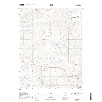
2019 Map of Ralston Buttes
USGS Topo · Published 2019About this map
Ralston Buttes and the surrounding Front Range foothills are defined by a complex network of canyons and gulches that funnel water toward the edge of Arvada. The landscape is a transition from the plains into the high ground of the Colorado mountains, featuring prominent peaks like Centennial Cone and Centralia Mtn. Historical routes and modern access points are traced through the corridor of Golden Gate Canyon Rd and the winding Crawford Gulch Rd, reflecting the long-standing importance of these drainages for transport. Local names such as Grannys Head and Mt Tom provide specific points of reference for genealogists and local historians tracking family land or historical recreational use. The presence of the Long Lake Ditch and numerous gulches like Tucker Gulch and Cressmans Gulch illustrates the critical role of water management in this arid but topographically diverse terrain.
Find a feature on this map
88 named features on this map. Tap any name to fly to it.
Don’t see what you’re looking for? This feature index may not catch every label — zoom into the map to look around manually.
Map Details
Editions of this 2019 Ralston Buttes Map
This is the sole edition of this map. No revisions or reprints were ever made.
Other maps of this area

1899 · West Denver
USGS Topo · 1:125,000

1906 · Blackhawk
USGS Topo · 1:62,500

1938 · Morrison
USGS Topo · 1:24,000

1939 · Golden
USGS Topo · 1:24,000

1942 · Eldorado Springs
USGS Topo · 1:24,000

1942 · Morrison
USGS Topo · 1:31,680

1942 · Golden
USGS Topo · 1:31,680

1942 · Louisville
USGS Topo · 1:31,680

1942 · Tungsten
USGS Topo · 1:24,000

1942 · Black Hawk
USGS Topo · 1:24,000