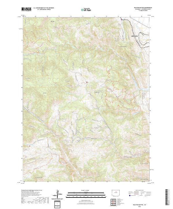
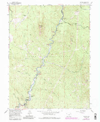
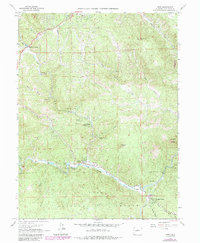
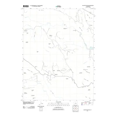
2022 Map of Ralston Buttes
USGS Topo · Published 2022About this map
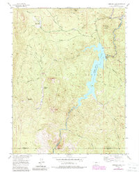
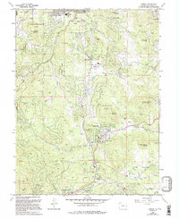
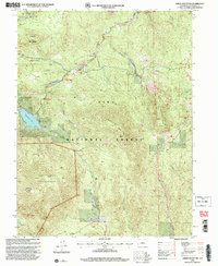
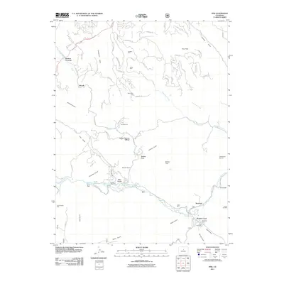
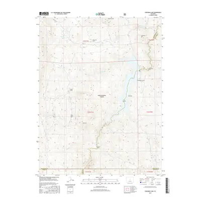
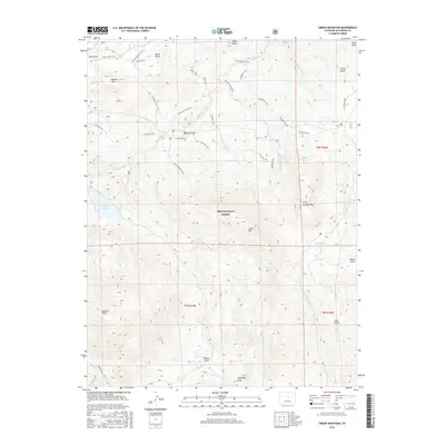
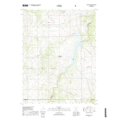
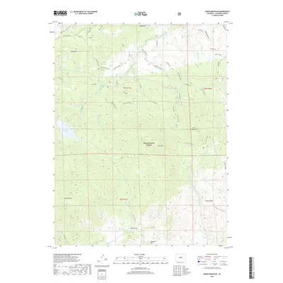
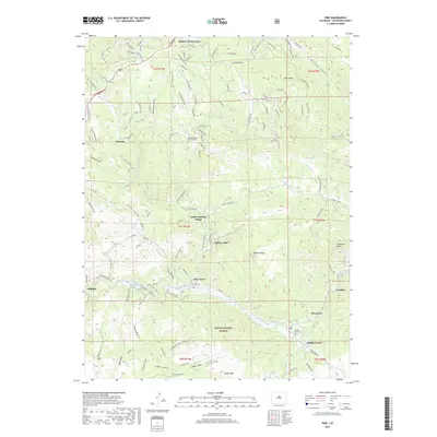
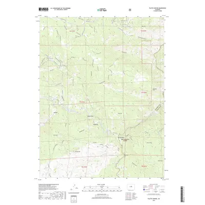
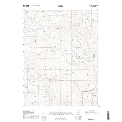
Ralston Buttes and the steep surrounding canyons define this portion of the Front Range northwest of the encroaching Arvada city limits. This landscape is a complex network of deep drainages including Golden Gate Canyon, Crawford Gulch, and Clear Creek Canyon. The map reveals a transition from the developing suburban edge of the plains into a high-elevation backcountry marked by numerous peaks like Centennial Cone and Mt Tom. The local transport network is characterized by narrow, winding routes such as Golden Gate Canyon Rd and School House Rd, which provide access to scattered settlements like Guy Hill and the recreational trails of Belcher Hill. Water management infrastructure, such as the Ralston Central-Long Lake Ditch, illustrates the engineering required to support the region's growth from the surrounding watersheds.
Find a feature on this map
95 named features on this map. Tap any name to fly to it.
Don’t see what you’re looking for? This feature index may not catch every label — zoom into the map to look around manually.
Map Details
Editions of this 2022 Ralston Buttes Map
This is the sole edition of this map. No revisions or reprints were ever made.
Historical Maps of Arvada Through Time
66 maps found

1906 Blackhawk
Jefferson County, CO

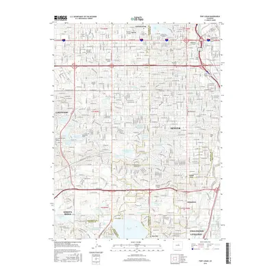
1941 Fort Logan
Jefferson County, CO

1942 Ralston Buttes
Jefferson County, CO

1944 Ralston Buttes
Jefferson County, CO
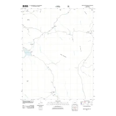
1945 Pine
Jefferson County, CO
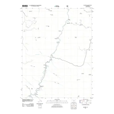
1945 Platte Canyon
Jefferson County, CO

1948 Fort Logan
Jefferson County, CO

1948 Pine
Jefferson County, CO
1948 Platte Canyon
Jefferson County, CO

1948 Ralston Buttes
Jefferson County, CO
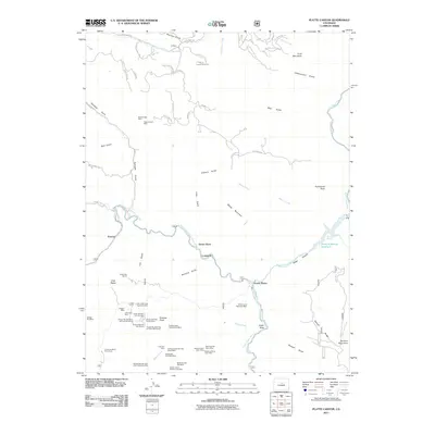
1954 Deckers
Jefferson County, CO

1954 Green Mountain
Jefferson County, CO
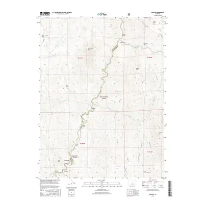
1956 Cheesman Lake
Jefferson County, CO

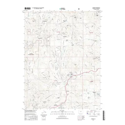
1957 Conifer
Jefferson County, CO

1957 Fort Logan
Jefferson County, CO
1965 Conifer
Jefferson County, CO
1965 Fort Logan
Jefferson County, CO
1965 Pine
Jefferson County, CO
1965 Platte Canyon
Jefferson County, CO
1965 Ralston Buttes
Jefferson County, CO
1983 Denver West
Jefferson County, CO

1994 Cheesman Lake
Jefferson County, CO

1994 Deckers
Jefferson County, CO
1994 Green Mountain
Jefferson County, CO
1994 Pine
Jefferson County, CO

1994 Platte Canyon
Jefferson County, CO
2011 Cheesman Lake
Jefferson County, CO
2011 Conifer
Jefferson County, CO
2011 Deckers
Jefferson County, CO

2011 Fort Logan
Jefferson County, CO
2011 Green Mountain
Jefferson County, CO
2011 Pine
Jefferson County, CO
2011 Platte Canyon
Jefferson County, CO
2011 Ralston Buttes
Jefferson County, CO
2013 Cheesman Lake
Jefferson County, CO
2013 Conifer
Jefferson County, CO
2013 Deckers
Jefferson County, CO

2013 Fort Logan
Jefferson County, CO
2013 Green Mountain
Jefferson County, CO
2013 Pine
Jefferson County, CO
2013 Platte Canyon
Jefferson County, CO
2013 Ralston Buttes
Jefferson County, CO
2016 Cheesman Lake
Jefferson County, CO
2016 Conifer
Jefferson County, CO
2016 Deckers
Jefferson County, CO
2016 Fort Logan
Jefferson County, CO
2016 Green Mountain
Jefferson County, CO
2016 Pine
Jefferson County, CO
2016 Platte Canyon
Jefferson County, CO
2016 Ralston Buttes
Jefferson County, CO
2019 Cheesman Lake
Jefferson County, CO
2019 Conifer
Jefferson County, CO
2019 Deckers
Jefferson County, CO
2019 Fort Logan
Jefferson County, CO
2019 Green Mountain
Jefferson County, CO
2019 Pine
Jefferson County, CO
2019 Platte Canyon
Jefferson County, CO
2019 Ralston Buttes
Jefferson County, CO
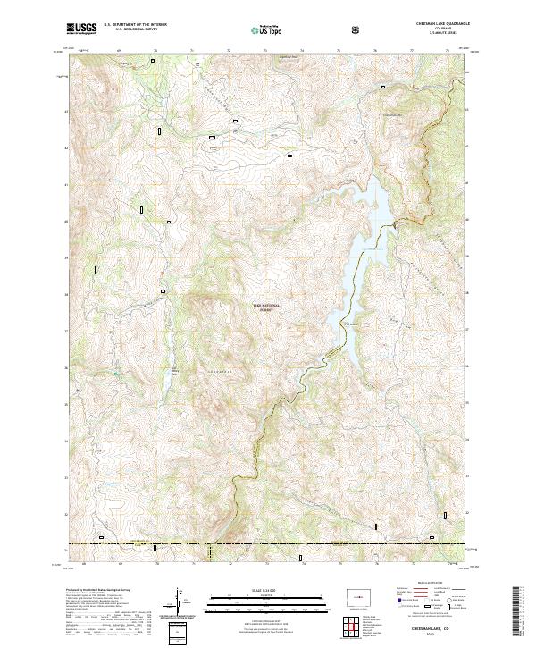
2022 Cheesman Lake
Jefferson County, CO
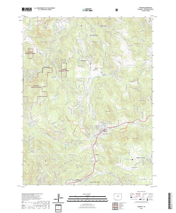
2022 Conifer
Jefferson County, CO
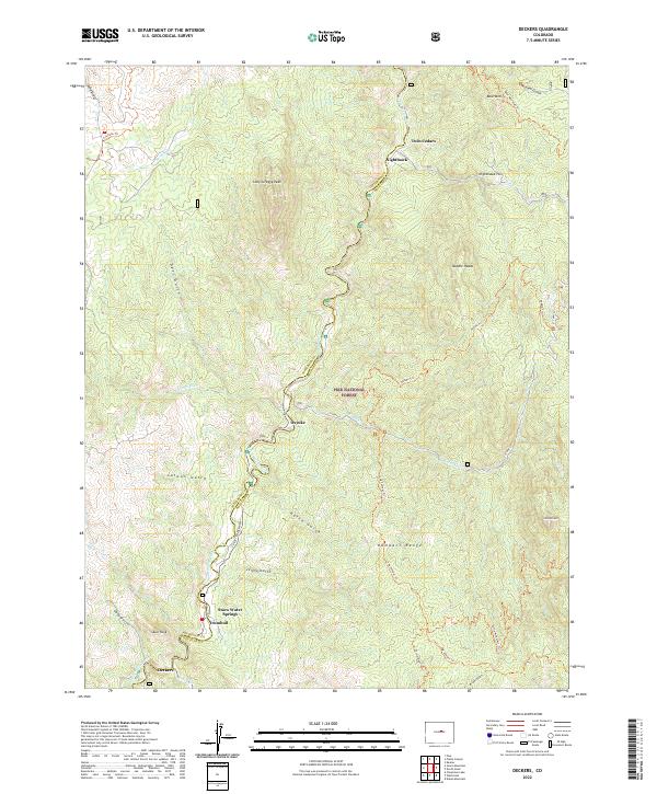
2022 Deckers
Jefferson County, CO

2022 Fort Logan
Jefferson County, CO
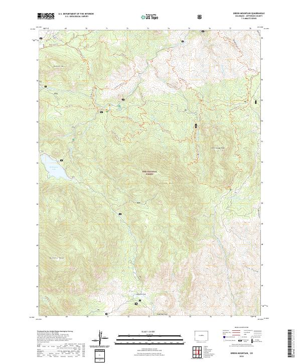
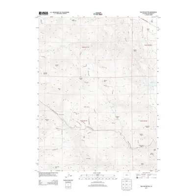
2022 Green Mountain
Jefferson County, CO

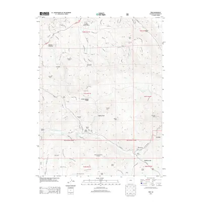
2022 Pine
Jefferson County, CO

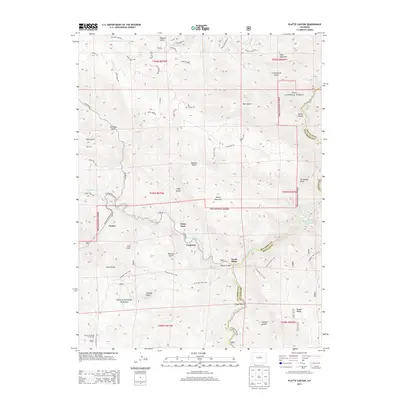
2022 Platte Canyon
Jefferson County, CO
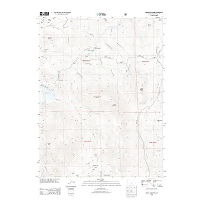
2022 Ralston Buttes
Jefferson County, CO