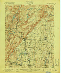
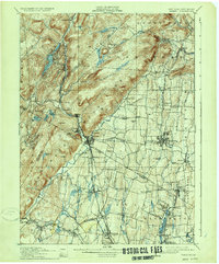
1910 Map of Ramapo
USGS Topo · Published 1918About this map
The Ramapo River Div of the Erie RR serves as a primary corridor through this 1910 landscape, connecting industrial and residential hubs across the border between New York and New Jersey. The mountainous terrain of Sterling Mountain and High Mtn. overlooks a valley floor defined by water and early industry, including the Powder Works near the rail line. Social history is deeply etched into the quadrangle through institutional landmarks such as the County Farm, the Childrens Home, and the St. Agatha Home near Nanuet.
Find a feature on this map
106 named features on this map. Tap any name to fly to it.
Don’t see what you’re looking for? This feature index may not catch every label — zoom into the map to look around manually.
Map Details
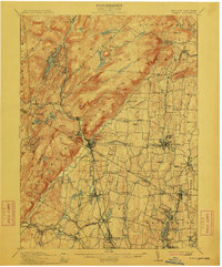
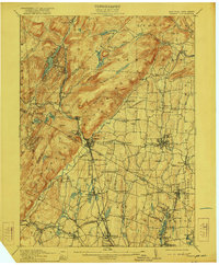
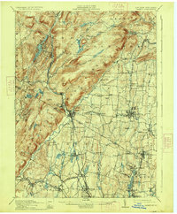
Editions of this 1910 Ramapo Map
6 editions found

Other maps of this area

1888 · Morristown
USGS Topo · 1:62,500

1888 · Paterson
USGS Topo · 1:62,500

1891 · Greenwood Lake
USGS Topo · 1:62,500

1891 · Ramapo
USGS Topo · 1:62,500

1891 · Harlem
USGS Topo · 1:62,500

1892 · West Point
USGS Topo · 1:62,500

1892 · Paterson
USGS Topo · 1:62,500

1892 · Tarrytown
USGS Topo · 1:62,500

1893 · Greenwood Lake
USGS Topo · 1:62,500

1893 · Tarrytown
USGS Topo · 1:62,500