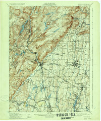
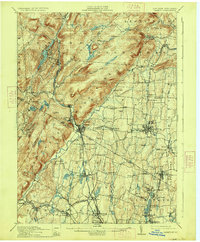
1910 Map of Ramapo
USGS Topo · Published 1934About this map
Sloatsburg and Suffern anchor the transition from the steep Ramapo Mountains to the developing valleys of southeastern New York and northern New Jersey at the turn of the century. The Ramapo River and the Erie R.R. define the primary corridor of commerce and travel, cutting through the highlands near Hillburn. This survey reveals a landscape of early suburbanization and institutional growth, evidenced by the Childrens Home and Agatha Home near Nanuet. In the more isolated northern reaches, small communities like Johnsontown and Laden-town are found among the peaks and glacial ponds such as Little Long Pond and Potake Lake. The map serves as a vital record for genealogists tracing family names through places like Masonicus and schools like Airmount School, providing a clear look at the region before mid-century development transformed the borderlands between Orange Co. and Bergen Co.
Find a feature on this map
97 named features on this map. Tap any name to fly to it.
Don’t see what you’re looking for? This feature index may not catch every label — zoom into the map to look around manually.
Map Details
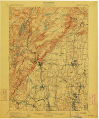
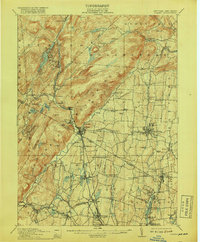
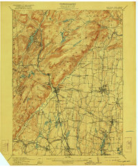
Editions of this 1910 Ramapo Map
6 editions found

Other maps of this area

1888 · Morristown
USGS Topo · 1:62,500

1888 · Paterson
USGS Topo · 1:62,500

1891 · Greenwood Lake
USGS Topo · 1:62,500

1891 · Ramapo
USGS Topo · 1:62,500

1891 · Harlem
USGS Topo · 1:62,500

1892 · West Point
USGS Topo · 1:62,500

1892 · Paterson
USGS Topo · 1:62,500

1892 · Tarrytown
USGS Topo · 1:62,500

1893 · Greenwood Lake
USGS Topo · 1:62,500

1893 · Tarrytown
USGS Topo · 1:62,500