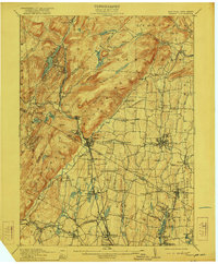
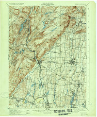
1910 Map of Ramapo
USGS Topo · Published 1922About this map
The Ramapo Mountains dominate the western half of this landscape, creating a stark contrast between the high terrain and the expanding valley settlements to the east. By the early 1910s, the Erie railroad and the New Jersey and New York RR had fostered a corridor of growth through Sloatsburg, Suffern, and Spring Valley. This infrastructure supported institutional developments like the County Farm and the Agatha Home, which were established in the flatter lands near Nanuet.
Find a feature on this map
94 named features on this map. Tap any name to fly to it.
Don’t see what you’re looking for? This feature index may not catch every label — zoom into the map to look around manually.
Map Details
Editions of this 1910 Ramapo Map
6 editions found

Other maps of this area

1888 · Morristown
USGS Topo · 1:62,500

1888 · Paterson
USGS Topo · 1:62,500

1891 · Greenwood Lake
USGS Topo · 1:62,500

1891 · Ramapo
USGS Topo · 1:62,500

1891 · Harlem
USGS Topo · 1:62,500

1892 · West Point
USGS Topo · 1:62,500

1892 · Paterson
USGS Topo · 1:62,500

1892 · Tarrytown
USGS Topo · 1:62,500

1893 · Greenwood Lake
USGS Topo · 1:62,500

1893 · Tarrytown
USGS Topo · 1:62,500