
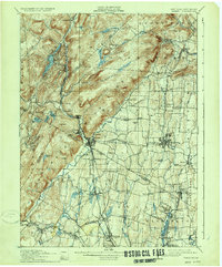
1910 Map of Ramapo
USGS Topo · Published 1910About this map
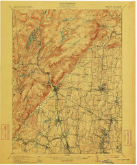
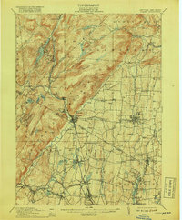
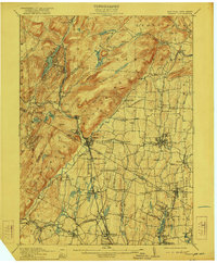
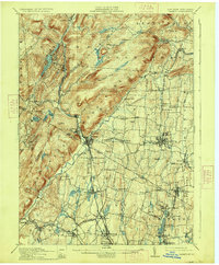
The New York New Jersey border region near the turn of the century shows a landscape defined by the narrow corridors of the Erie RR and the Ramapo River. This 1910 revision captures the industrial and institutional character of the valley, featuring a Powder Works at the southern edge and specialized facilities like the County Farm and Childrens Home near Spring Valley. The settlement pattern follows the rail lines and watercourses, with established villages like Sloatsburg and Suffern serving as gateways to the more rugged uplands.
Find a feature on this map
106 named features on this map. Tap any name to fly to it.
Don’t see what you’re looking for? This feature index may not catch every label — zoom into the map to look around manually.
Map Details
Editions of this 1910 Ramapo Map
6 editions found
Other maps of this area

1888 · Morristown
USGS Topo · 1:62,500

1888 · Paterson
USGS Topo · 1:62,500

1891 · Greenwood Lake
USGS Topo · 1:62,500

1891 · Ramapo
USGS Topo · 1:62,500

1891 · Harlem
USGS Topo · 1:62,500

1892 · West Point
USGS Topo · 1:62,500

1892 · Paterson
USGS Topo · 1:62,500

1892 · Tarrytown
USGS Topo · 1:62,500

1893 · Greenwood Lake
USGS Topo · 1:62,500

1893 · Tarrytown
USGS Topo · 1:62,500