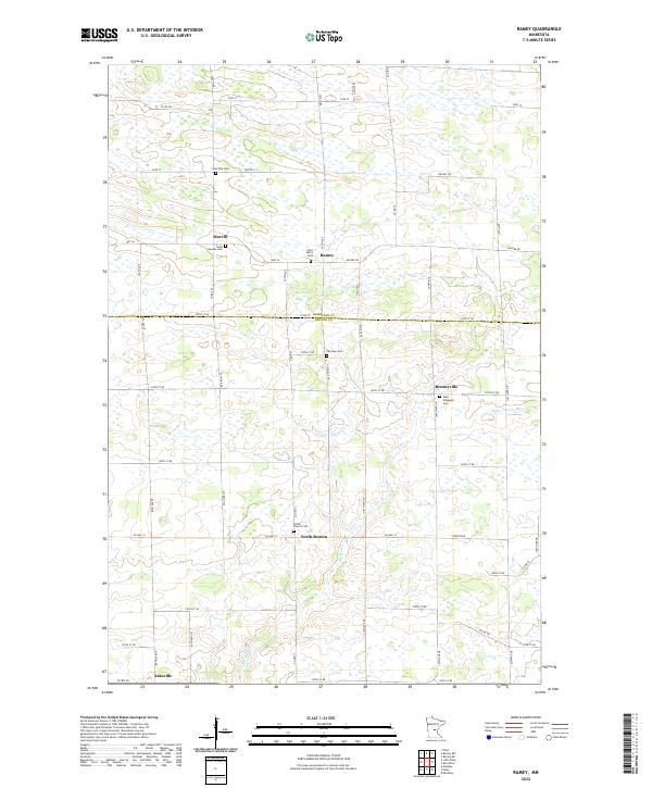
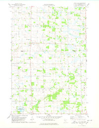
2022 Map of Ramey
USGS Topo · Published 2022This historical map portrays the area of Ramey in 2022, primarily covering Benton County as well as portions of Morrison County. Featuring a scale of 1:24000, this map provides a highly detailed snapshot of the terrain, roads, buildings, counties, and historical landmarks in the Ramey region at the time. Published in 2022, it is the sole known edition of this map.
Map Details
Editions of this 2022 Ramey Map
This is the sole edition of this map. No revisions or reprints were ever made.
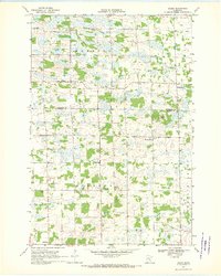
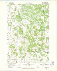
Historical Maps of Benton County Through Time
14 maps found
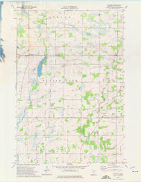
1968 Duelm
Benton County, MN
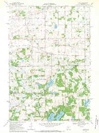
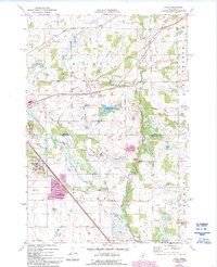
1968 Ramey
Benton County, MN
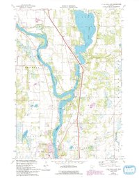
1968 Rum River
Benton County, MN
1974 Cable
Benton County, MN
1974 Little Rock Lake
Benton County, MN
1974 Mayhew
Benton County, MN
1978 Little Rock
Benton County, MN
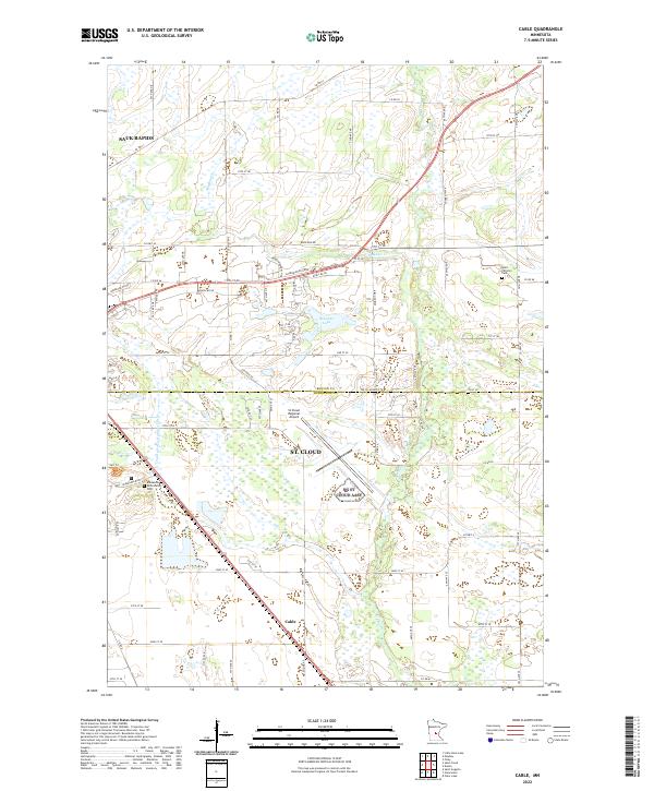
2022 Cable
Benton County, MN
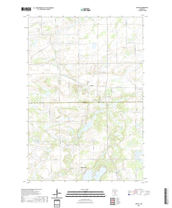
2022 Duelm
Benton County, MN
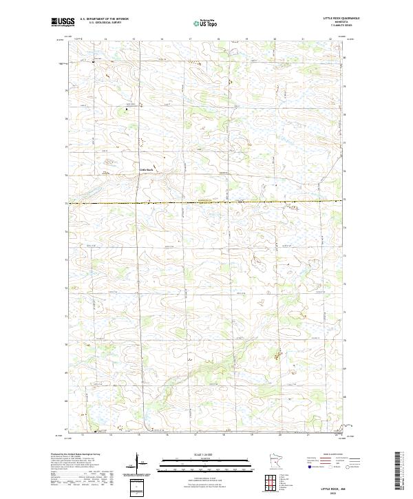
2022 Little Rock
Benton County, MN
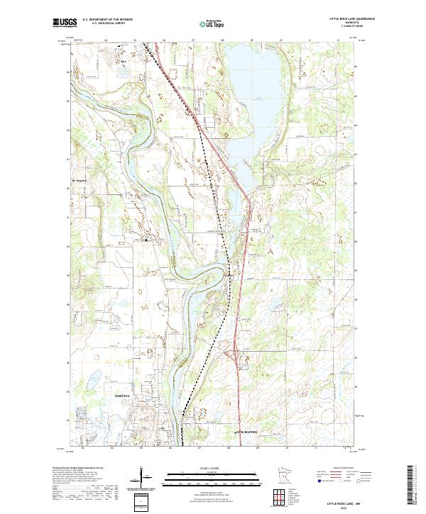
2022 Little Rock Lake
Benton County, MN
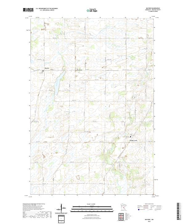
2022 Mayhew
Benton County, MN
2022 Ramey
Benton County, MN
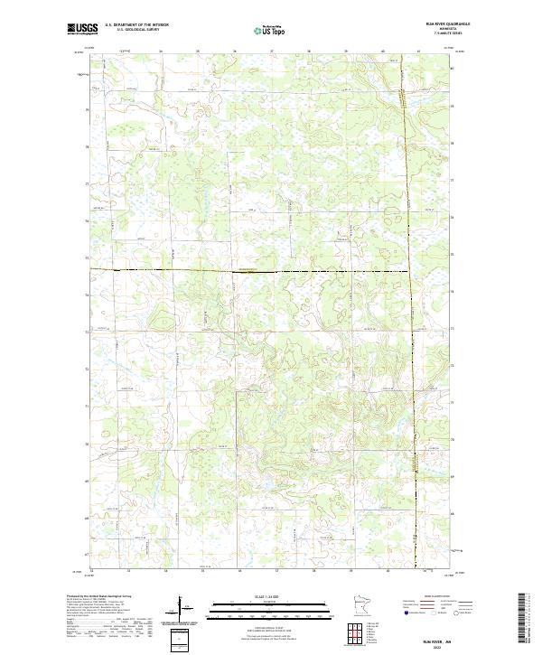
2022 Rum River
Benton County, MN