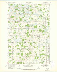
1968 Map of Ramey
USGS Topo · Published 1970About this map
Morrill and Ramey anchor this rural landscape in the late 1960s, situated along the border of Morrison and Benton Counties. The settlement pattern is defined by a traditional township grid, where small agricultural hubs like Brennyville and North Benton serve the surrounding farmsteads. The importance of local education and community faith is evident in the survival of numbered schoolhouses such as School No 1192 and School No 1213, alongside Bethany Ch.
Find a feature on this map
22 named features on this map. Tap any name to fly to it.
Don’t see what you’re looking for? This feature index may not catch every label — zoom into the map to look around manually.
Map Details
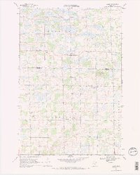
Editions of this 1968 Ramey Map
2 editions found
Other maps of this area

1948 · Pierz
USGS Topo · 1:62,500

1950 · Pierz
USGS Topo · 1:62,500

1950 · St. Cloud
USGS Topo · 1:62,500

1953 · Saint Cloud
USGS Topo · 1:250,000

1953 · Stillwater
USGS Topo · 1:250,000

1955 · Stillwater
USGS Topo · 1:250,000

1957 · Saint Cloud
USGS Topo · 1:250,000

1958 · Stillwater
USGS Topo · 1:250,000

1958 · Saint Cloud
USGS Topo · 1:250,000

1965 · Stillwater
USGS Topo · 1:250,000