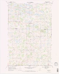
1968 Map of Ramey
USGS Topo · Published 1970About this map
Morrill and Ramey anchor a rural landscape defined by a network of sectional roads and small-town centers in central Minnesota. In the late 1960s, this area on the border of Morrison Co and Benton Co remained deeply tied to its agricultural roots, evidenced by the numerous district schoolhouses like School No 1213 and School No 109 that once served the local farm families. The Elk River winds through the southern portion of the map, carving a path through the townships of Alberta and Granite Ledge. Cultural landmarks such as Bethany Ch and Fairview Cem provide essential anchor points for genealogists tracking family lineages in the Lakin and Morrill townships. Small hamlets like Brennyville, North Benton, and Jakeville appear as modest clusters of dwellings, while scattered Gravel Pits suggest the localized extraction of materials for the area's road network.
Find a feature on this map
22 named features on this map. Tap any name to fly to it.
Don’t see what you’re looking for? This feature index may not catch every label — zoom into the map to look around manually.
Map Details
Editions of this 1968 Ramey Map
2 editions found
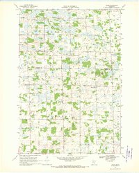
Other maps of this area

1948 · Pierz
USGS Topo · 1:62,500

1950 · Pierz
USGS Topo · 1:62,500

1950 · St. Cloud
USGS Topo · 1:62,500

1953 · Saint Cloud
USGS Topo · 1:250,000

1953 · Stillwater
USGS Topo · 1:250,000

1955 · Stillwater
USGS Topo · 1:250,000

1957 · Saint Cloud
USGS Topo · 1:250,000

1958 · Stillwater
USGS Topo · 1:250,000

1958 · Saint Cloud
USGS Topo · 1:250,000

1965 · Stillwater
USGS Topo · 1:250,000