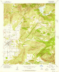
1955 Map of Ramona
USGS Topo · Published 1957About this map
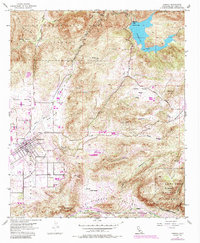
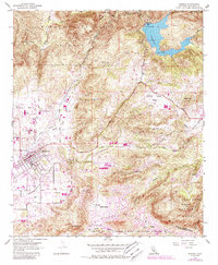
Ramona serves as the focal point of this mid-century survey, situated within the Santa Maria Valley at the convergence of several drainage systems. The landscape is defined by its transition from agricultural valley floors to the high peaks of the Cleveland National Forest, including Whale Mtn and Mt Gower. Local infrastructure is concentrated around the town center, featuring the Union High School, a Cem, and a Sewage Disposal plant, reflecting the community's mid-century development.
Find a feature on this map
51 named features on this map. Tap any name to fly to it.
Don’t see what you’re looking for? This feature index may not catch every label — zoom into the map to look around manually.
Map Details
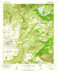
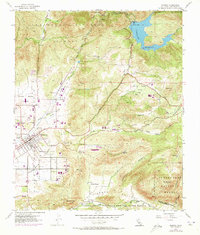
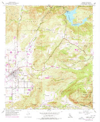
Editions of this 1955 Ramona Map
6 editions found
Other maps of this area

1893 · El Cajon
USGS Topo · 1:62,500

1901 · Elcajon
USGS Topo · 1:62,500

1903 · Cuyamaca
USGS Topo · 1:125,000

1903 · Elcajon
USGS Topo · 1:62,500

1903 · Ramona
USGS Topo · 1:125,000

1904 · Southern California Sheet No. 2
USGS Topo · 1:250,000

1939 · El Cajon
USGS Topo · 1:62,500

1939 · Santa Ysabel
USGS Topo · 1:62,500

1942 · El Cajon
USGS Topo · 1:62,500

1942 · Ramona
USGS Topo · 1:62,500