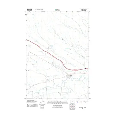
2011 Map of Ranchester
USGS Topo · Published 2011About this map
Ranchester serves as the focal point of this Sheridan County landscape, situated along the banks of the Tongue River. The settlement pattern reflects a deeply integrated irrigation and ranching economy, characterized by an extensive network of waterways like the Mikado Ditch, Hanover Ditch, and Oz Ditch. These man-made channels diverge from the main river systems to support the arid plains, while numerous named reservoirs and dams, such as Mates Reservoir and Belish Dam, dot the drainages of Earley Creek and Sixmile Creek.
Find a feature on this map
44 named features on this map. Tap any name to fly to it.
Don’t see what you’re looking for? This feature index may not catch every label — zoom into the map to look around manually.
Map Details
Editions of this 2011 Ranchester Map
This is the sole edition of this map. No revisions or reprints were ever made.
Other maps of this area

1894 · Rosebud
USGS Topo · 1:125,000

1895 · Dayton
USGS Topo · 1:125,000

1901 · Rosebud
USGS Topo · 1:125,000

1901 · Dayton
USGS Topo · 1:125,000

1954 · Hardin
USGS Topo · 1:250,000

1955 · Sheridan
USGS Topo · 1:250,000

1957 · Hardin
USGS Topo · 1:250,000

1958 · Hardin
USGS Topo · 1:250,000

1958 · Sheridan
USGS Topo · 1:250,000

1962 · Sheridan
USGS Topo · 1:250,000