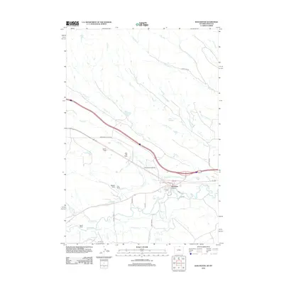
2012 Map of Ranchester
USGS Topo · Published 2012About this map
Ranchester sits at the confluence of several water systems in Sheridan County, where the meandering Tongue River is fed by a complex network of man-made irrigation features. The landscape is defined by its agricultural engineering, featuring an extensive system of named channels including the Mikado Ditch, Hanover Ditch, Oz Ditch, and York Ditch. These waterways support the ranching and farming operations that have long shaped the valley's economy and settlement patterns.
Find a feature on this map
40 named features on this map. Tap any name to fly to it.
Don’t see what you’re looking for? This feature index may not catch every label — zoom into the map to look around manually.
Map Details
Editions of this 2012 Ranchester Map
This is the sole edition of this map. No revisions or reprints were ever made.
Other maps of this area

1894 · Rosebud
USGS Topo · 1:125,000

1895 · Dayton
USGS Topo · 1:125,000

1901 · Rosebud
USGS Topo · 1:125,000

1901 · Dayton
USGS Topo · 1:125,000

1954 · Hardin
USGS Topo · 1:250,000

1955 · Sheridan
USGS Topo · 1:250,000

1957 · Hardin
USGS Topo · 1:250,000

1958 · Hardin
USGS Topo · 1:250,000

1958 · Sheridan
USGS Topo · 1:250,000

1962 · Sheridan
USGS Topo · 1:250,000