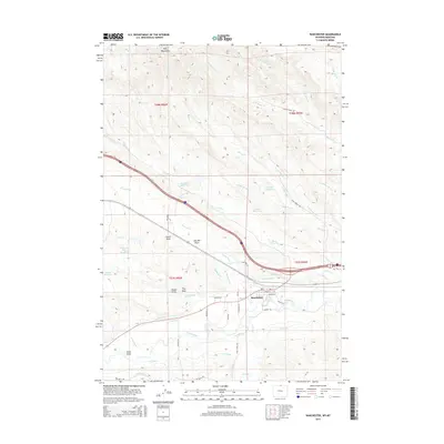
2015 Map of Ranchester
USGS Topo · Published 2015About this map
Ranchester sits at the confluence of several water management systems, where the Tongue River and Wolf Creek support a complex network of agricultural irrigation. This 2015 survey details the extensive water infrastructure of northern Sheridan County, including the Hanover Ditch, Mikado Ditch, Oz Ditch, and S Side Ditch. The landscape transition is evident as the Wolf Mountains rise to the north, giving way to the draws and creek beds that feed into the valley. Numerous private and agricultural water sources are scattered across the terrain, such as Dzendolet Reservoir, Mates Reservoir, and the Turner and Swan Reservoir. Local transportation routes like Dayton E Road and the residential layout of the town center near Hardin Street reflect the modern footprint of this rural Wyoming community.
Find a feature on this map
49 named features on this map. Tap any name to fly to it.
Don’t see what you’re looking for? This feature index may not catch every label — zoom into the map to look around manually.
Map Details
Editions of this 2015 Ranchester Map
This is the sole edition of this map. No revisions or reprints were ever made.
Other maps of this area

1894 · Rosebud
USGS Topo · 1:125,000

1895 · Dayton
USGS Topo · 1:125,000

1901 · Rosebud
USGS Topo · 1:125,000

1901 · Dayton
USGS Topo · 1:125,000

1954 · Hardin
USGS Topo · 1:250,000

1955 · Sheridan
USGS Topo · 1:250,000

1957 · Hardin
USGS Topo · 1:250,000

1958 · Hardin
USGS Topo · 1:250,000

1958 · Sheridan
USGS Topo · 1:250,000

1962 · Sheridan
USGS Topo · 1:250,000