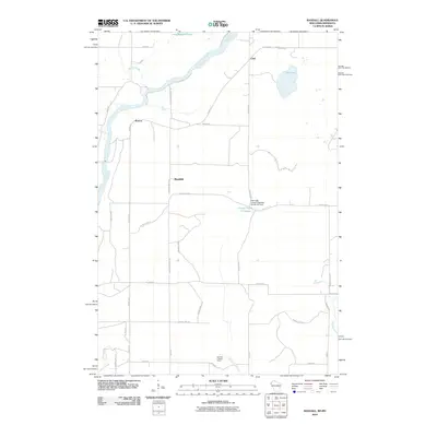
2010 Map of Randall
USGS Topo · Published 2010About this map
The Saint Croix River defines the western border of this 2010 survey, serving as a primary geographic anchor for the rural communities of Benson, Randall, and Lind. This landscape is characterized by a complex network of waterways and drainage, including Stevens Creek, Rock Creek, and Cowan Creek, which feed into larger bodies such as Long Meadows Lake and Fish Lake. A notable point of infrastructure is the Fish Lake County Highway O H12.152 Dam at the County Trunk O Flowage, reflecting local water management and roadway engineering. For those examining the high ground, the Sterling Lookout Tower stands near Cowan Creek, a sentinel in a region defined by agricultural plots and winding county roads like Pleasant Prairie Rd and W River Rd.
Find a feature on this map
35 named features on this map. Tap any name to fly to it.
Don’t see what you’re looking for? This feature index may not catch every label — zoom into the map to look around manually.
Map Details
Editions of this 2010 Randall Map
This is the sole edition of this map. No revisions or reprints were ever made.
Other maps of this area

1950 · Rush City
USGS Topo · 1:48,000

1950 · Grantsburg
USGS Topo · 1:48,000

1951 · Milltown
USGS Topo · 1:48,000

1953 · Stillwater
USGS Topo · 1:250,000

1955 · Rush City
USGS Topo · 1:62,500

1955 · Milltown
USGS Topo · 1:62,500

1955 · Stillwater
USGS Topo · 1:250,000

1958 · Stillwater
USGS Topo · 1:250,000

1961 · Pine City
USGS Topo · 1:62,500

1962 · Grantsburg
USGS Topo · 1:62,500