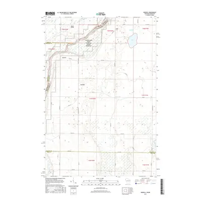
2015 Map of Randall
USGS Topo · Published 2015About this map
The Saint Croix River forms the natural spine of this borderland, where the Lower Saint Croix National Scenic Riverway protects the transition between Minnesota and Wisconsin. The landscape is defined by its complex hydrology, featuring numerous wetlands and bodies of water such as Fish Lake, Town Road Flowage, and County Trunk Flowage. Small settlements including Randall, Benson, and Lind are connected by a grid of rural roads like Pleasant Prairie Rd and Oeltjen Rd, reflecting the agricultural and residential development typical of this riverine corridor.
Find a feature on this map
50 named features on this map. Tap any name to fly to it.
Don’t see what you’re looking for? This feature index may not catch every label — zoom into the map to look around manually.
Map Details
Editions of this 2015 Randall Map
This is the sole edition of this map. No revisions or reprints were ever made.
Other maps of this area

1950 · Rush City
USGS Topo · 1:48,000

1950 · Grantsburg
USGS Topo · 1:48,000

1951 · Milltown
USGS Topo · 1:48,000

1953 · Stillwater
USGS Topo · 1:250,000

1955 · Rush City
USGS Topo · 1:62,500

1955 · Milltown
USGS Topo · 1:62,500

1955 · Stillwater
USGS Topo · 1:250,000

1958 · Stillwater
USGS Topo · 1:250,000

1961 · Pine City
USGS Topo · 1:62,500

1962 · Grantsburg
USGS Topo · 1:62,500