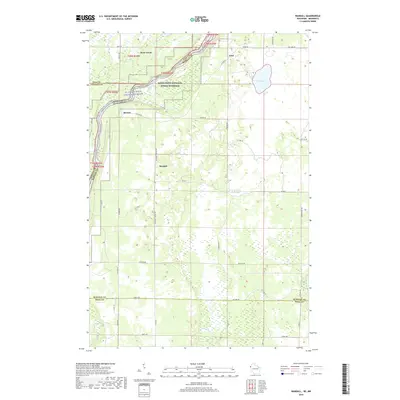
2019 Map of Randall
USGS Topo · Published 2019About this map
The St. Croix Wild and Scenic River carves a deep boundary between Minnesota and Wisconsin, anchoring the Saint Croix National Scenic Riverway. This modern topographic survey illustrates the rural transition across Pine, Chisago, and Burnett counties, where small settlements like Rock Creek, Randall, and Benson are connected by a network of local roads including Pleasant Prairie Rd and W River Rd. The landscape is defined by its water systems, from the expansive Fish Lake and County Trunk Flowage to the smaller drainage of Cold Cr and Baggage Cr. In the northern sections, the river's winding path is flanked by steep elevation contours, while the southern reaches near Lagoon Cr flatten into more established agricultural grids, offering a clear view of contemporary land use and conservation boundaries in the Upper Midwest.
Find a feature on this map
44 named features on this map. Tap any name to fly to it.
Don’t see what you’re looking for? This feature index may not catch every label — zoom into the map to look around manually.
Map Details
Editions of this 2019 Randall Map
This is the sole edition of this map. No revisions or reprints were ever made.
Other maps of this area

1950 · Rush City
USGS Topo · 1:48,000

1950 · Grantsburg
USGS Topo · 1:48,000

1951 · Milltown
USGS Topo · 1:48,000

1953 · Stillwater
USGS Topo · 1:250,000

1955 · Rush City
USGS Topo · 1:62,500

1955 · Milltown
USGS Topo · 1:62,500

1955 · Stillwater
USGS Topo · 1:250,000

1958 · Stillwater
USGS Topo · 1:250,000

1961 · Pine City
USGS Topo · 1:62,500

1962 · Grantsburg
USGS Topo · 1:62,500