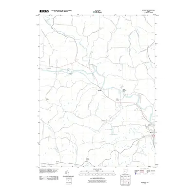
2010 Map of Randle
USGS Topo · Published 2010About this map
Killbuck Creek and the Walhonding River converge in this pocket of Coshocton County, defining a landscape shaped by historical water transport and rural settlement. The presence of the Walhonding Canal and Sixmile Dam near Randle highlights the engineering legacy of the region's river-based economy. To the southeast, the village of Roscoe sits near the Roscoe Basin, a key point of interest for those tracing the development of the Ohio canal system.
Find a feature on this map
68 named features on this map. Tap any name to fly to it.
Don’t see what you’re looking for? This feature index may not catch every label — zoom into the map to look around manually.
Map Details
Editions of this 2010 Randle Map
This is the sole edition of this map. No revisions or reprints were ever made.
Other maps of this area

1908 · Conesville
USGS Topo · 1:62,500

1910 · Frazeysburg
USGS Topo · 1:62,500

1910 · Conesville
USGS Topo · 1:62,500

1913 · Brinkhaven
USGS Topo · 1:62,500

1913 · Coshocton
USGS Topo · 1:62,500

1915 · Brinkhaven
USGS Topo · 1:62,500

1915 · Coshocton
USGS Topo · 1:62,500

1943 · Coshocton
USGS Topo · 1:62,500

1950 · Marion
USGS Topo · 1:250,000

1951 · Canton
USGS Topo · 1:250,000