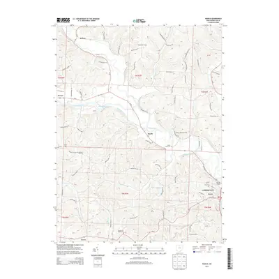
2013 Map of Randle
USGS Topo · Published 2013About this map
The Walhonding River valley serves as the central corridor for this 2013 survey, where historical water transport and modern roads intersect near the city of Coshocton. The northern reaches of the city, including the Roscoe district, highlight the lasting imprint of 19th-century infrastructure through features like the Walhonding Canal and the Roscoe Basin. This region, documented just over a decade ago, maintains a dense network of rural landmarks, from the elevation at Pinfeather Ridge to the prominent White Womans Rock overlooking the river bends.
Find a feature on this map
84 named features on this map. Tap any name to fly to it.
Don’t see what you’re looking for? This feature index may not catch every label — zoom into the map to look around manually.
Map Details
Editions of this 2013 Randle Map
This is the sole edition of this map. No revisions or reprints were ever made.
Other maps of this area

1908 · Conesville
USGS Topo · 1:62,500

1910 · Frazeysburg
USGS Topo · 1:62,500

1910 · Conesville
USGS Topo · 1:62,500

1913 · Brinkhaven
USGS Topo · 1:62,500

1913 · Coshocton
USGS Topo · 1:62,500

1915 · Brinkhaven
USGS Topo · 1:62,500

1915 · Coshocton
USGS Topo · 1:62,500

1943 · Coshocton
USGS Topo · 1:62,500

1950 · Marion
USGS Topo · 1:250,000

1951 · Canton
USGS Topo · 1:250,000