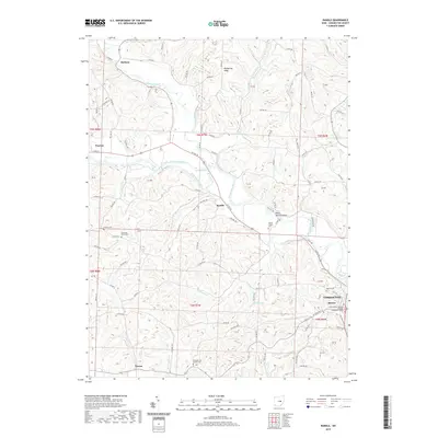
2019 Map of Randle
USGS Topo · Published 2019About this map
Coshocton and its historic Roscoe district anchor the southeastern corner of this landscape where the Walhonding River winds through a complex valley system. The legacy of 19th-century infrastructure is visible in the traces of the Walhonding Canal, which follows the river's northern bank toward Randle and Warsaw. This corridor historically facilitated trade and travel in Coshocton County, connecting small riverside settlements like Metham and Tyrone to larger regional hubs.
Find a feature on this map
92 named features on this map. Tap any name to fly to it.
Don’t see what you’re looking for? This feature index may not catch every label — zoom into the map to look around manually.
Map Details
Editions of this 2019 Randle Map
This is the sole edition of this map. No revisions or reprints were ever made.
Other maps of this area

1908 · Conesville
USGS Topo · 1:62,500

1910 · Frazeysburg
USGS Topo · 1:62,500

1910 · Conesville
USGS Topo · 1:62,500

1913 · Brinkhaven
USGS Topo · 1:62,500

1913 · Coshocton
USGS Topo · 1:62,500

1915 · Brinkhaven
USGS Topo · 1:62,500

1915 · Coshocton
USGS Topo · 1:62,500

1943 · Coshocton
USGS Topo · 1:62,500

1950 · Marion
USGS Topo · 1:250,000

1951 · Canton
USGS Topo · 1:250,000