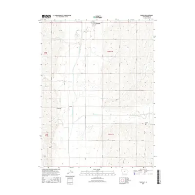
2015 Map of Randolph
USGS Topo · Published 2015About this map
The West Nishnabotna River carves a broad valley floor through this portion of Fremont County, defining the agricultural landscape of southwest Iowa. The town of Randolph sits at the northern edge of this survey, where the river's floodplains meet the rising upland bluffs. Further south, the smaller settlement of Anderson is positioned near the junction of Co Rd J26 and 305 Ave, surrounded by a grid of rural section roads.
Find a feature on this map
45 named features on this map. Tap any name to fly to it.
Don’t see what you’re looking for? This feature index may not catch every label — zoom into the map to look around manually.
Map Details
Editions of this 2015 Randolph Map
This is the sole edition of this map. No revisions or reprints were ever made.
Other maps of this area

1939 · Farragut
USGS Topo · 1:62,500

1939 · Hamburg
USGS Topo · 1:62,500

1940 · Farragut
USGS Topo · 1:62,500

1941 · Hamburg
USGS Topo · 1:62,500

1955 · Nebraska City
USGS Topo · 1:250,000

1957 · Nebraska City
USGS Topo · 1:250,000

1957 · Randolph
USGS Topo · 1:24,000

1957 · Tabor
USGS Topo · 1:24,000

1957 · Tabor NE
USGS Topo · 1:24,000

1957 · Tabor SW
USGS Topo · 1:24,000