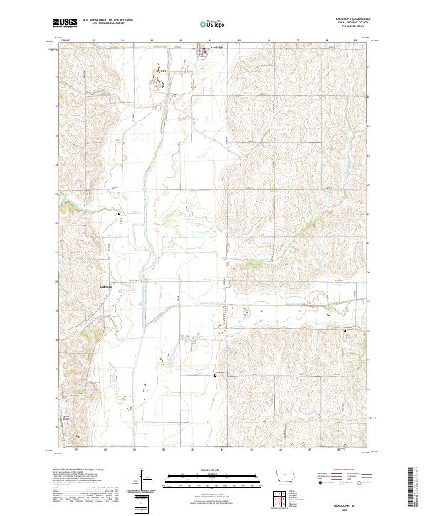
2022 Map of Randolph
USGS Topo · Published 2022About this map
Randolph serves as the primary hub in this southwestern Iowa landscape, situated near the northern edge of the map. The terrain is defined by the winding course of the West Nishnabotna River and its numerous tributaries, including Walnut Creek, Canyon Creek, and Honey Creek. These waterways cut through the agricultural land, creating a pattern of drainage that has historically shaped local land use and farm placement. The rural character of the area is further emphasized by small landmarks like Duff Cem, Wagner Cem, and Chambers Cem, which reflect the long-standing community roots in Fremont County. In the southwest corner, Hilltop Airport provides a distinct modern contrast to the surrounding grid of section lines and gravel roads that connect various farmsteads and agricultural plots.
Find a feature on this map
1 named feature on this map. Tap any name to fly to it.
Don’t see what you’re looking for? This feature index may not catch every label — zoom into the map to look around manually.
Map Details
Editions of this 2022 Randolph Map
This is the sole edition of this map. No revisions or reprints were ever made.
Other maps of this area

1939 · Farragut
USGS Topo · 1:62,500

1939 · Hamburg
USGS Topo · 1:62,500

1940 · Farragut
USGS Topo · 1:62,500

1941 · Hamburg
USGS Topo · 1:62,500

1955 · Nebraska City
USGS Topo · 1:250,000

1957 · Nebraska City
USGS Topo · 1:250,000

1957 · Randolph
USGS Topo · 1:24,000

1957 · Tabor
USGS Topo · 1:24,000

1957 · Tabor NE
USGS Topo · 1:24,000

1957 · Tabor SW
USGS Topo · 1:24,000